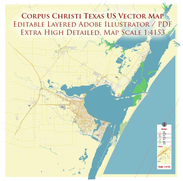
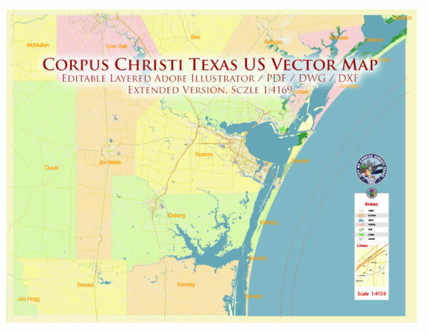
Corpus Christi, Texas, located in the United States, is a city situated on the Gulf of Mexico and is known for its unique ecological characteristics. Here’s an ecological description of the area:
- Coastal Location: Corpus Christi is a coastal city on the Gulf of Mexico, which has a significant impact on its ecology. The city is part of the Coastal Bend region of Texas, offering a wide range of coastal ecosystems and diverse marine life.
- Barrier Islands and Beaches: The region is dotted with barrier islands and sandy beaches. Padre Island, located just south of the city, is the longest barrier island in the world and is part of the Padre Island National Seashore. This area is important for nesting sea turtles and offers habitat for various shorebirds and dune plants.
- Wetlands: Corpus Christi and its surrounding areas feature numerous wetlands, estuaries, and lagoons, such as the Laguna Madre. These ecosystems are vital for migratory birds, fish, and other wildlife. The wetlands are also crucial for water filtration and storm surge protection.
- Bays and Inlets: The city’s location along the Gulf Coast provides access to various bays and inlets, like Corpus Christi Bay and Nueces Bay. These areas support a diverse range of marine species and provide opportunities for recreational fishing.
- Marine Life: The Gulf of Mexico’s warm waters support a rich marine environment. You can find various species of fish, crustaceans, and mollusks, making it a popular destination for recreational and commercial fishing.
- Bird Watching: Corpus Christi is renowned for its birdwatching opportunities. The Coastal Bend region attracts migratory birds along the Central Flyway, with numerous birding hotspots, including the South Texas Botanical Gardens and the Aransas National Wildlife Refuge.
- Mangrove Forests: The area features mangrove forests along the shoreline, providing essential nursery habitats for various marine species. These forests also help protect the coastline from erosion and storm damage.
- Conservation Efforts: Several conservation organizations and government agencies work to preserve and protect the local ecosystems. Efforts include protecting sea turtle nesting sites, managing invasive species, and conserving critical habitats.
- Climate Impact: Corpus Christi, like many coastal areas, faces climate change challenges, including sea-level rise, increased storm intensity, and coastal erosion. These factors can have a significant impact on the city’s ecology and its vulnerability to natural disasters.
- Recreational Opportunities: The ecological diversity of the Corpus Christi area offers numerous recreational opportunities, such as boating, fishing, birdwatching, kayaking, and wildlife photography.
The ecological diversity of Corpus Christi, Texas, is a valuable asset, and local organizations and residents continue to work towards its conservation and sustainability to protect the unique natural beauty of the region.


 Author: Kirill Shrayber, Ph.D. FRGS