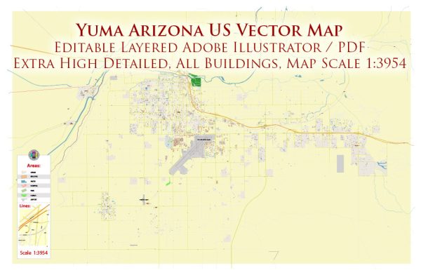
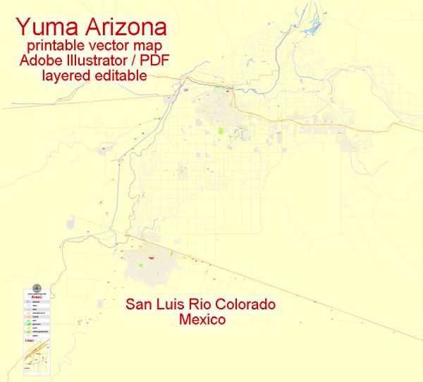
Yuma, Arizona is a city located in the southwestern United States, in the state of Arizona. It is known for its unique geography, climate, and its significance as a regional center for agriculture and trade. Here’s a brief description of the urban development in Yuma:
- Geography and Location: Yuma is situated in the southwestern corner of Arizona, close to the borders of California and Mexico. It is located in the Colorado River Valley and is part of the Sonoran Desert. The city’s position along the Colorado River has historically been a key factor in its growth and development.
- Agriculture: Yuma is often referred to as the “Winter Lettuce Capital of the World” because of its important role in winter vegetable production. The fertile soils of the Yuma area, combined with a mild winter climate, make it an ideal location for growing a wide range of crops, including lettuce, broccoli, and citrus fruits. Agriculture has been a significant driver of the city’s economy and urban development.
- Economic Development: Yuma’s economy has diversified over the years, with agriculture, military, and tourism being the primary pillars. The city is home to the Yuma Proving Ground, a major military installation, which has contributed to its economic stability. Tourism is also significant due to the city’s pleasant winter weather and numerous recreational opportunities.
- Education and Healthcare: Yuma has several educational institutions, including Arizona Western College and the University of Arizona’s Yuma campus. The city also has a well-developed healthcare sector, with multiple hospitals and medical facilities to serve the local population.
- Infrastructure: Yuma has invested in its infrastructure to support its growing population and economy. This includes road networks, public transportation, and utilities. Yuma International Airport provides connections to major cities in the region.
- Historical Preservation: Yuma has made efforts to preserve its historical and cultural heritage. The Yuma Crossing National Heritage Area, for example, encompasses the historic downtown area and the Yuma Territorial Prison State Historic Park, providing insights into the city’s past.
- Residential and Commercial Development: Yuma has seen the development of residential and commercial areas to accommodate its growing population. You can find a mix of housing options, from suburban neighborhoods to apartment complexes and condominiums. Commercial areas include shopping centers, dining options, and entertainment venues.
- Recreation and Outdoor Activities: Yuma’s urban development is also influenced by its proximity to outdoor recreational opportunities. The city’s location on the Colorado River and near the Kofa National Wildlife Refuge and the Yuma Desert Hills Golf Course provides residents with a range of recreational options.
Yuma’s urban development reflects its unique blend of agriculture, military, and tourism, and the city continues to evolve to meet the needs of its residents and visitors while preserving its historical and natural assets.


 Author: Kirill Shrayber, Ph.D. FRGS