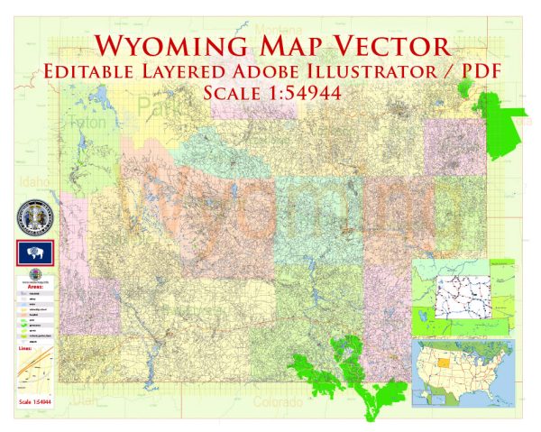
Wyoming, as a largely rural and sparsely populated state, has a significant network of water resources and bridges to support transportation and agriculture. Here’s an overview of some key aspects of Wyoming’s water resources and bridges:
Water Resources:
- Rivers and Streams: Wyoming is home to several significant rivers, including the North Platte, Green, Snake, and Wind River. These rivers provide water for irrigation, recreation, and wildlife habitats.
- Reservoirs: The state has numerous reservoirs, such as Boysen Reservoir, Flaming Gorge Reservoir, and Buffalo Bill Reservoir. These reservoirs help store water for irrigation, flood control, and recreational activities.
- Aquifers: Groundwater is an important source of water in Wyoming, primarily for agricultural and municipal use. The High Plains aquifer, which underlies parts of eastern Wyoming, is a key source of groundwater.
- Snowpack: The mountainous regions of Wyoming receive substantial snowfall during the winter months. This snowpack serves as a natural water storage system, slowly releasing water into rivers and streams as it melts, which is critical for downstream users.
- Water Management: The Wyoming State Engineer’s Office oversees water rights and distribution to ensure equitable water use. Water is allocated for various purposes, including agriculture, industry, and municipal supply.
Bridges:
- Number of Bridges: Wyoming has a significant number of bridges to accommodate its vast road network, both urban and rural. There are over 3,000 bridges in the state.
- Bridge Types: Wyoming features various types of bridges, including beam bridges, truss bridges, arch bridges, suspension bridges, and cable-stayed bridges. The design and construction of bridges depend on factors such as location, traffic volume, and topography.
- Maintenance and Inspection: The Wyoming Department of Transportation (WYDOT) is responsible for maintaining and inspecting the state’s bridges to ensure their safety and functionality. This includes regular assessments and necessary repairs or replacements.
- Historical Bridges: Wyoming has several historic bridges, such as the F.E. Warren Bridge in Cheyenne and the Smith Mansion Bridge in Cody. These bridges are significant both from an engineering and historical perspective.
- Challenges: Wyoming’s climate, characterized by harsh winters and temperature fluctuations, poses challenges for bridge maintenance and durability. The state continually works to address these challenges to ensure the safety and reliability of its bridge infrastructure.
It’s important to note that specific data and details related to Wyoming’s water resources and bridges may change over time due to maintenance, construction, and infrastructure improvements. For the most up-to-date information, you can refer to the Wyoming Department of Transportation (WYDOT) and other relevant state agencies.


 Author: Kirill Shrayber, Ph.D. FRGS