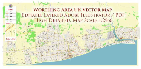
The Worthing area in the UK, which is located on the south coast of England in West Sussex, is not typically known for its extensive water resources or significant bridges. However, there are several smaller water features, such as rivers and streams, and a few bridges in the area. Here are some notable ones:
- River Adur: The River Adur flows through the Worthing area, providing a source of water. It is relatively small but does have some significance for local wildlife and recreation.
- Worthing Pier: While not a traditional bridge, Worthing Pier is a prominent structure extending into the sea. It is a well-known landmark in the area, offering scenic views of the coast.
- Footbridges: There are various footbridges that cross over streams, canals, and roadways in Worthing and the surrounding villages, providing access for pedestrians and cyclists.
- Railway Bridges: The railway network in the Worthing area includes several bridges and viaducts, which are important for the transportation of people and goods.
- A27 and A259 Road Bridges: These major roads pass through or near Worthing and have bridges that allow traffic to cross over the River Adur and other watercourses.
While these bridges and water resources may not be as grand or numerous as in other regions, they are still an important part of the local infrastructure and landscape. The area’s coastal location also offers access to the sea and various water-related activities, including boating and beachfront recreation.


 Author: Kirill Shrayber, Ph.D. FRGS