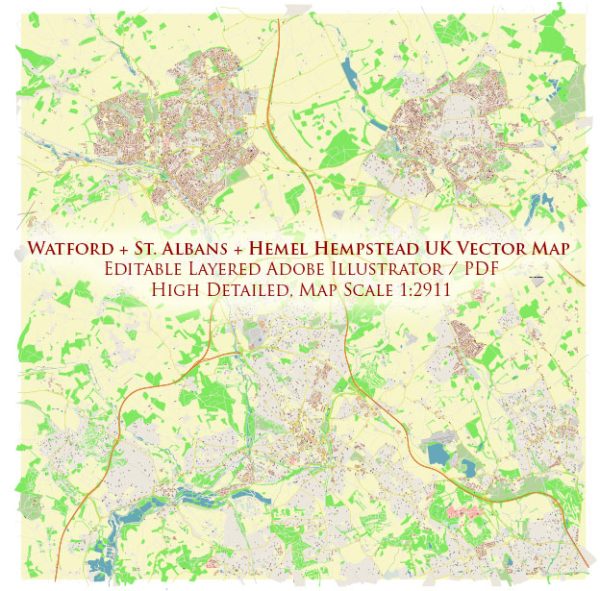
Watford, St Albans, and Hemel Hempstead are towns in Hertfordshire, UK, and are situated in the southeastern region of England. These towns are not known for their significant water resources or bridges, as they are not located on major rivers or bodies of water. However, there are some smaller water features and local bridges in and around these towns.
- Rivers and Water Resources:
- The River Ver flows through St Albans. While it is not a major river, it is a chalk stream that is important for local ecology and recreation.
- The River Gade, a tributary of the River Colne, flows near Hemel Hempstead. It is not a large river but contributes to the local water resources.
- Local Bridges:
- There are various road bridges and footbridges that cross the River Ver in St Albans.
- In Hemel Hempstead, you can find bridges that span the River Gade and the Grand Union Canal, which passes through the town.
- In Watford, there are bridges over the River Colne and the Grand Union Canal as well.
These bridges and water resources mainly serve local transportation and recreational purposes. If you have specific questions about a particular bridge or water resource in these towns, it would be helpful to provide more details to give a more precise answer.


 Author: Kirill Shrayber, Ph.D. FRGS