Map — Ussr
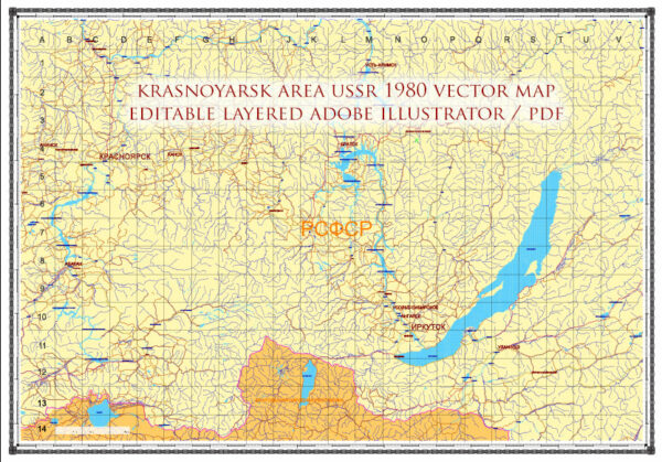
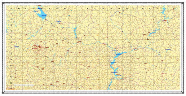
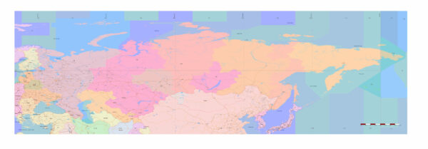
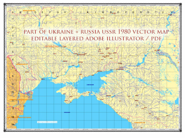
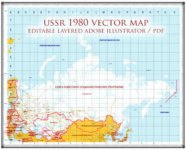
A clean map of Ussr with named layers and consistent geometry for fast cartographic work. Layer structure separates arterials and locals, districts, hydrography, parks and landmarks. Coordinates and scales are prepared for sheet production and consistent exports. Waterfronts and parks receive extra separation for better contrast on light palettes. Typography spacing is tuned for quick reading on posters, brochures and reports. Named layers let you restyle colors, line weights and label classes without cleanup passes.
Use it for visitor guides, city infographics, investment decks and municipal communications. Works well as an underlay for wayfinding, transport schemes and editorial layouts. Files remain compact thanks to clean geometry and disciplined labeling. Keeps labels readable while allowing deep customization of routes and highlights. Color systems can be swapped quickly to match seasonal or brand variants.


 Author: Kirill Shrayber, Ph.D. FRGS