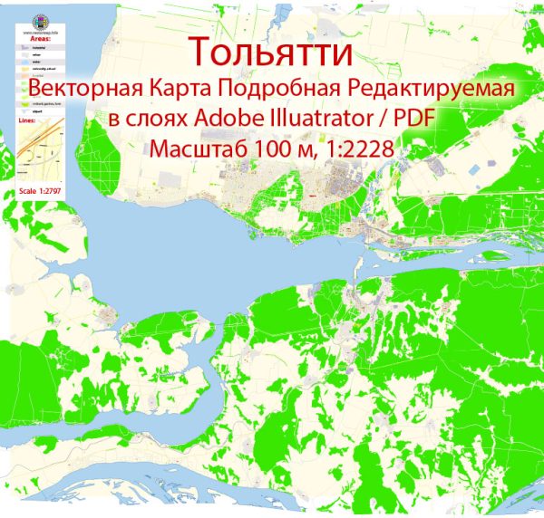
Tolyatti, also known as Togliatti, is a major city in Russia, located in the Samara Oblast, which is in the southeastern part of European Russia. The city is situated on the banks of the Volga River and is one of the largest industrial centers in the country. Tolyatti is known for being a hub of the Russian automotive industry, and it’s the home of the AvtoVAZ automobile factory, where Lada cars are produced. The city is divided into several districts and neighborhoods, each with its own unique characteristics and features. Here’s an overview of some of them:
- Avtozavodsky District: This district is at the heart of Tolyatti and is closely associated with the AvtoVAZ automobile factory. It’s the industrial center of the city and is where much of the automotive production takes place. The district also has residential areas and various amenities for the factory workers.
- Central District: The central district is the historic center of Tolyatti. It’s where you can find government buildings, cultural institutions, and shopping areas. It’s a mix of residential and commercial areas and is a bustling part of the city.
- Komsomolsky District: This district is located to the northeast of the city center and features a mix of residential areas, parks, and schools. It’s a quieter and more residential part of Tolyatti.
- Avtozavodsky and Novo-Avtozavodsky Districts: These districts are located in the northern part of the city and are characterized by a mix of residential neighborhoods, parks, and some industrial areas. They offer a variety of housing options and are relatively well-connected to the city center.
- Samarsky District: This district is on the western side of Tolyatti and features a combination of residential neighborhoods, shopping centers, and recreational areas. It’s known for its sports facilities and parks.
- Zaeltsovsky District: Situated in the southern part of the city, this district is a mix of residential and industrial areas. It’s home to various educational institutions and has a diverse population.
- Tsentralny Gorodskoy Okrug: This is the central city district and includes the downtown area and its surroundings. It’s the most urban and developed part of Tolyatti, with a concentration of businesses, shops, and cultural attractions.
- Volzhsky District: This district is located along the Volga River, offering scenic views and access to recreational areas. It’s a mix of residential neighborhoods and natural landscapes.
Tolyatti is a vibrant and growing city with a diverse population, and its districts and neighborhoods cater to various needs and preferences. The city also has a range of cultural and recreational activities, making it an interesting place to live or visit.


 Author: Kirill Shrayber, Ph.D. FRGS