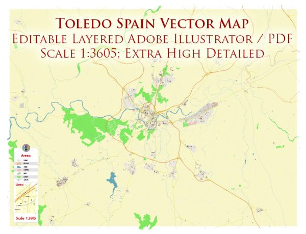
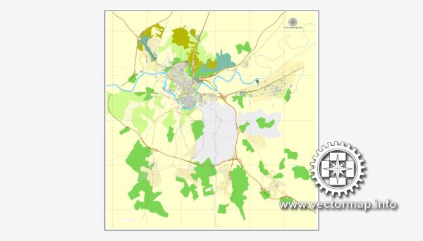
Toledo, Spain, is a historic city located in the region of Castilla-La Mancha. It’s known for its well-preserved medieval architecture, rich history, and cultural significance. The city is divided into various districts and neighborhoods, each with its own unique characteristics. Here is an overview of some of the most prominent districts and neighborhoods in Toledo:
- Old Town (Casco Antiguo):
- The heart of Toledo and a UNESCO World Heritage Site.
- Features narrow, winding streets, historic buildings, and numerous landmarks, including the Toledo Cathedral and the Alcázar of Toledo.
- A mix of residential areas, shops, restaurants, and cultural attractions.
- Jewish Quarter (Judería):
- A historic neighborhood within the Old Town.
- Known for its well-preserved Sephardic Jewish heritage, with synagogues and winding alleys.
- Quaint, charming streets, and many craft shops and artisan workshops.
- San Martín District:
- Located to the west of the Old Town.
- Known for its beautiful squares and churches, such as the San Martín Bridge and the San Martín Church.
- Offers great views of the city from the Mirador del Valle.
- Santa Bárbara and San Juan de los Reyes Districts:
- Situated to the south of the Old Town.
- Santa Bárbara features the Parador de Toledo, offering panoramic views of the city.
- San Juan de los Reyes is known for the Monastery of San Juan de los Reyes and charming streets.
- Antequeruela and Azucaica:
- Located to the east of the Old Town.
- These areas offer a mix of residential neighborhoods and green spaces, providing a quieter contrast to the bustling Old Town.
- Tavera Hospital District:
- Home to the Hospital de Tavera, a Renaissance-era building with a beautiful courtyard and art collection.
- A peaceful district with a mix of historical and residential areas.
- San Antón District:
- Located to the north of the Old Town.
- Known for its scenic parks, including Parque de la Vega and Parque de Safont.
- Offers a more modern and residential atmosphere.
- Polígono Industrial (Industrial Estate):
- Located on the outskirts of the city.
- This district is primarily an industrial and commercial area.
Each of these districts and neighborhoods in Toledo contributes to the city’s unique charm, blending historical significance with modern amenities. When visiting Toledo, be sure to explore its various areas to fully appreciate its cultural and architectural diversity.


 Author: Kirill Shrayber, Ph.D. FRGS