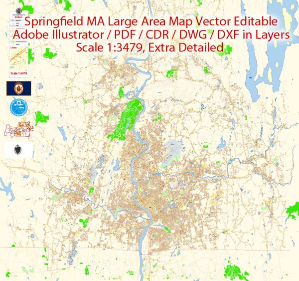
Springfield, Massachusetts is the third-largest city in the state and is located in the New England region of the United States. The city’s ecological characteristics are influenced by its geographic location, climate, and human activity. Here is a general ecological description of Springfield:
- Climate: Springfield experiences a humid continental climate with four distinct seasons. Winters are cold and snowy, with temperatures often dropping below freezing, while summers are warm and humid. The region experiences typical New England weather patterns, with occasional rain and thunderstorms.
- Vegetation: Springfield is situated in the Connecticut River Valley, which is characterized by a mix of deciduous and coniferous forests. The surrounding landscape includes a variety of trees, including oak, maple, pine, and birch. There are also several parks and green spaces throughout the city, which are home to a wide range of plant species.
- Waterways: The Connecticut River, one of the longest rivers in the United States, flows through the region. Springfield is located along the banks of this river, and its ecosystem is influenced by its presence. The river supports various aquatic life forms, including fish and waterfowl.
- Wildlife: The city is home to a variety of wildlife, although urbanization has significantly affected natural habitats. Common wildlife species in the area include white-tailed deer, raccoons, squirrels, rabbits, and a variety of bird species. There are also parks and nature reserves in the surrounding areas where wildlife can be observed.
- Urbanization: Springfield is an urban center with a significant human population, which has led to the development of infrastructure, roads, and buildings. While this urbanization has had an impact on the natural environment, there are efforts to maintain green spaces, parks, and community gardens to support local ecology and biodiversity.
- Environmental Challenges: Like many urban areas, Springfield faces environmental challenges such as pollution, habitat fragmentation, and water quality issues. Efforts are made to address these challenges through conservation programs, recycling initiatives, and sustainable development practices.
- Conservation Efforts: Various organizations and local authorities in Springfield work to protect and conserve the natural environment. This includes maintaining parks and green spaces, restoring riverbanks, and promoting sustainable practices to mitigate the impact of urbanization on the local ecology.
- Recreational Opportunities: Springfield’s ecological features provide opportunities for outdoor activities, such as hiking, birdwatching, and fishing. Parks like Forest Park offer a natural escape within the city.
It’s important to note that Springfield, like many urban areas, continues to evolve in response to the changing needs of its population. As a result, efforts to balance urban development with environmental conservation play a crucial role in shaping the city’s ecological landscape.


 Author: Kirill Shrayber, Ph.D. FRGS