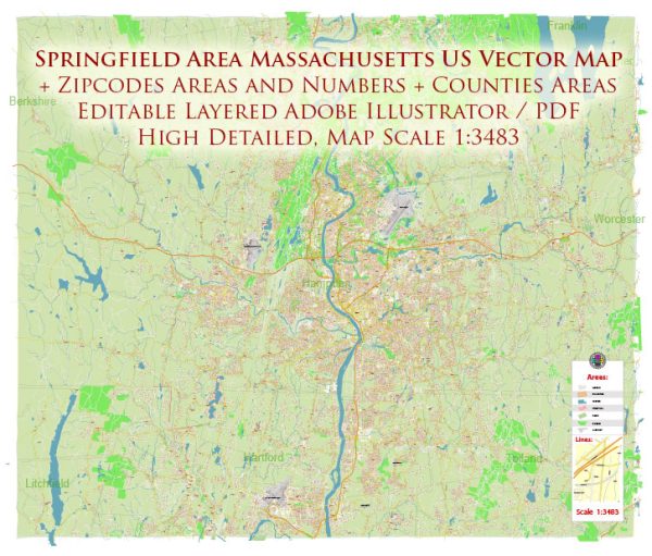
Springfield, Massachusetts, is the largest city in Western Massachusetts and serves as the county seat of Hampden County. It has a rich history and a diverse urban development landscape. Here’s a description of Springfield’s urban development:
- Historic Roots: Springfield has a long history dating back to its founding in 1636. It played a significant role in the American Revolution and the Industrial Revolution. As a result, the city has a mix of historic architecture and landmarks.
- Downtown Revitalization: Springfield’s downtown area has undergone revitalization efforts in recent years. There have been investments in infrastructure, public spaces, and cultural amenities to make the downtown more attractive and accessible. Notable projects include the construction of the MGM Springfield casino, which has brought entertainment, dining, and employment opportunities to the city.
- Education and Healthcare: Springfield is home to several educational and healthcare institutions, including Springfield College, Western New England University, and Baystate Medical Center. These institutions have influenced the development of the city, contributing to a mix of residential and commercial areas.
- Riverfront Development: The Connecticut River runs through Springfield, and there have been efforts to develop the riverfront. Riverfront parks, trails, and recreational spaces have been created, providing opportunities for outdoor activities and scenic views.
- Cultural Attractions: Springfield boasts cultural attractions like the Springfield Museums, which include several museums and the Dr. Seuss National Memorial Sculpture Garden. These cultural assets have been integrated into the urban fabric, contributing to the city’s identity and tourism.
- Transportation Hubs: Springfield is a transportation hub in Western Massachusetts. It has a train station served by Amtrak and commuter rail, connecting it to major cities like Boston and New York City. Interstate highways also intersect in Springfield, making it a critical transportation crossroads.
- Residential Development: Springfield has a mix of residential neighborhoods, including historic homes, suburban areas, and affordable housing options. The city has seen efforts to promote housing development and revitalization of older neighborhoods.
- Economic Diversification: Springfield’s economy has diversified over the years, moving away from its historic manufacturing base. The city is now home to a variety of industries, including healthcare, education, finance, and technology.
- Challenges: Springfield, like many urban areas, faces challenges such as poverty, crime, and economic disparities. Urban development efforts have sought to address these issues through community development programs and affordable housing initiatives.
- Future Development: Springfield continues to work on its urban development. This includes ongoing infrastructure improvements, housing projects, and efforts to attract businesses and investment.
Overall, Springfield, Massachusetts, is a city with a rich history and a diverse urban landscape that continues to evolve and develop to meet the needs of its residents and visitors.


 Author: Kirill Shrayber, Ph.D. FRGS