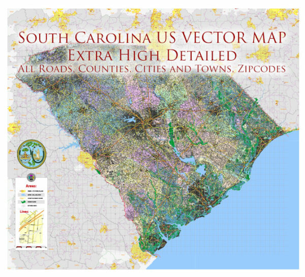
South Carolina is a southeastern state in the United States with a diverse range of ecological regions. The state’s geography encompasses coastal areas, marshes, barrier islands, pine forests, and the Blue Ridge Mountains in the northwestern part of the state. Here is a brief ecological description of South Carolina:
- Coastal Regions:
- The South Carolina coast is renowned for its beautiful beaches and estuarine ecosystems. It includes a variety of barrier islands, salt marshes, and tidal creeks.
- Barrier islands like Hilton Head and Kiawah Island are known for their sandy shores and maritime forests.
- The coastal salt marshes are important ecosystems, providing habitat for numerous species of fish, birds, and other wildlife.
- The warm waters of the Atlantic Ocean support diverse marine life, including dolphins, sea turtles, and various fish species.
- Lowcountry:
- The Lowcountry region, which includes the coastal plain, features a mix of wetlands, rivers, and swamps.
- The ACE Basin, located in the Lowcountry, is one of the largest undeveloped estuaries on the East Coast of the United States, known for its rich biodiversity.
- Piedmont Region:
- Moving inland, the state transitions to the Piedmont region, which is characterized by rolling hills and mixed forests.
- The region is known for its hardwood forests, with tree species like oak, hickory, and pine dominating the landscape.
- Rivers and streams in this region, such as the Savannah River and the Catawba River, support diverse aquatic life.
- Midlands:
- This region is marked by a mix of forests, fields, and agricultural land.
- Columbia, the state capital, is situated in the Midlands and is surrounded by a combination of natural and urban landscapes.
- Upstate:
- The northwestern part of South Carolina is known as the Upstate and is home to the southernmost portion of the Blue Ridge Mountains.
- This region features rugged terrain, waterfalls, and abundant hardwood forests.
- The biodiversity in the mountains includes various bird species, black bears, and several species of salamanders.
- Biodiversity:
- South Carolina boasts a rich diversity of wildlife, with numerous species of birds, mammals, reptiles, and amphibians. Some of the state’s notable species include white-tailed deer, wild turkeys, alligators, and a wide array of migratory birds.
- The state is home to several state parks, wildlife management areas, and national forests, which provide essential habitats for local flora and fauna.
- Threats and Conservation:
- Like many areas, South Carolina faces environmental challenges such as habitat loss, climate change, and sea-level rise in its coastal areas.
- Conservation efforts and protected areas play a crucial role in preserving the state’s ecological diversity.
South Carolina’s ecosystems and natural landscapes offer a variety of opportunities for outdoor activities, wildlife observation, and ecological research, making it an important part of the southeastern United States’ ecological tapestry.


 Author: Kirill Shrayber, Ph.D. FRGS