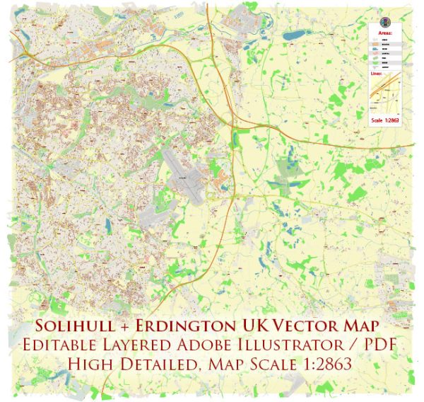
Solihull and Erdington are located in the West Midlands region of the United Kingdom, and they are not typically known for having an abundance of water resources or notable bridges compared to other areas in the country. However, they do have some water features and bridges of note:
- River Cole: The River Cole flows through both Solihull and Erdington. It’s a small river that eventually joins the River Blythe. While it’s not a major waterway, it does provide some scenic spots for walking and nature enthusiasts.
- Elmdon Park: Elmdon Park in Solihull features a small lake and bridges that cross over it, making it a popular spot for leisurely walks and picnics.
- Streetsbrook Road Bridge: This is a notable road bridge in Solihull that crosses over the Grand Union Canal, a major waterway that connects Birmingham to London and other parts of the UK.
- M6 Motorway Bridges: The M6 motorway runs through the region and includes several bridges that allow it to cross over various roads and water features.
- Pedestrian and Footbridges: Solihull and Erdington have various pedestrian and footbridges that cross over roads, railway lines, and small streams. These bridges serve to improve pedestrian accessibility and safety.
- Gravelly Hill Interchange (Spaghetti Junction): While not directly in Solihull or Erdington, the Gravelly Hill Interchange, also known as “Spaghetti Junction,” is a famous and complex network of road bridges and intersections located just to the north in Birmingham. It’s a noteworthy engineering feat in the region.
It’s important to note that while these areas have some water features and bridges, they are not known for grand or historically significant bridges and water resources like some other parts of the UK. The West Midlands region is more renowned for its industrial history and urban development.


 Author: Kirill Shrayber, Ph.D. FRGS