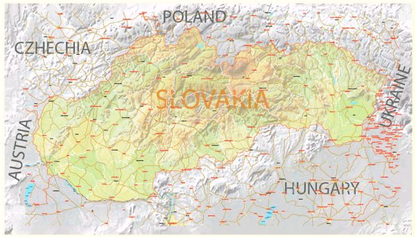
Slovakia is divided into several administrative territories at various levels. The administrative divisions of Slovakia consist of regions, districts, municipalities, and higher territorial units. Here’s an overview of these administrative territories:
- Regions (Kraje):
- Slovakia is divided into 8 regions, known as “kraje” in Slovak. These regions are the highest-level territorial units in the country and have their own regional governments. Each region is further subdivided into districts.
The 8 regions are:
- Bratislava Region
- Trnava Region
- Trenčín Region
- Nitra Region
- Žilina Region
- Banská Bystrica Region
- Prešov Region
- Košice Region
- Districts (Okresy):
- The regions are divided into districts, which are known as “okresy” in Slovak. Districts serve as the second-level administrative units and are responsible for local government, law enforcement, and some administrative functions.
Slovakia has a total of 79 districts, with each district consisting of several municipalities.
- Municipalities (Obce and Mestá):
- Municipalities are the lowest level of administrative units in Slovakia. They include both towns (“mestá”) and villages (“obce”). Each municipality has its local government, typically headed by a mayor or mayor-equivalent.
The country has hundreds of municipalities, each responsible for local governance, services, and infrastructure within its boundaries.
- Higher Territorial Units (VÚC – Vyšší územné celky):
- While regions and districts are the primary administrative divisions, Slovakia also had a third level of administration called “higher territorial units” or “VÚC.”
It’s worth noting that the administrative divisions in Slovakia may have changed since my last update. For the most up-to-date information on Slovakia’s administrative territories, you should refer to official government sources or the latest available information.


 Author: Kirill Shrayber, Ph.D.