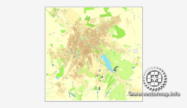
Simferopol is not part of Ukraine, but rather the capital city of the Republic of Crimea, which is a disputed region between Ukraine and Russia. Crimea was annexed by Russia in 2014, leading to ongoing political and territorial disputes. Simferopol’s neighborhoods and districts.
Simferopol is the largest city in Crimea and serves as its administrative, political, and cultural center. The city is divided into several districts and neighborhoods, each with its own unique characteristics. Here are some of the notable districts and neighborhoods in Simferopol:
- City Center: This is the heart of Simferopol and is home to many government buildings, cultural institutions, and businesses. The central square, Lenin Square, is a major focal point.
- Kirov District: This district is located to the northeast of the city center and is predominantly residential. It’s known for its green spaces, parks, and quiet streets.
- Komsomolsky District: Situated to the south of the city center, Komsomolsky is a mix of residential and commercial areas. It’s home to the city’s main train station, making it a transportation hub.
- Sovetsky District: This district is known for its residential neighborhoods, educational institutions, and parks. The Tavria University is located here.
- Gagarinsky District: Located in the eastern part of Simferopol, Gagarinsky District is primarily residential and has several educational institutions and cultural attractions.
- Vostok (East) and Zapad (West) Neighborhoods: These neighborhoods are to the east and west of the city center, respectively, and are characterized by a mix of residential and commercial areas. The east side has a more modern feel, with shopping centers and newer developments, while the west side features historic architecture.
- Tavrida University Area: Simferopol is home to Tavrida National V.I. Vernadsky University, and the area around the university is vibrant and bustling, with a mix of student-friendly establishments.
- Chervonozavodsky District: Located to the north of the city center, this district is known for its industrial and manufacturing zones, as well as some residential areas.
Please note that the political situation in Crimea has caused significant changes in the region’s dynamics since 2014, and the demographics and neighborhoods in Simferopol may have evolved as a result of these changes.


 Author: Kirill Shrayber, Ph.D. FRGS