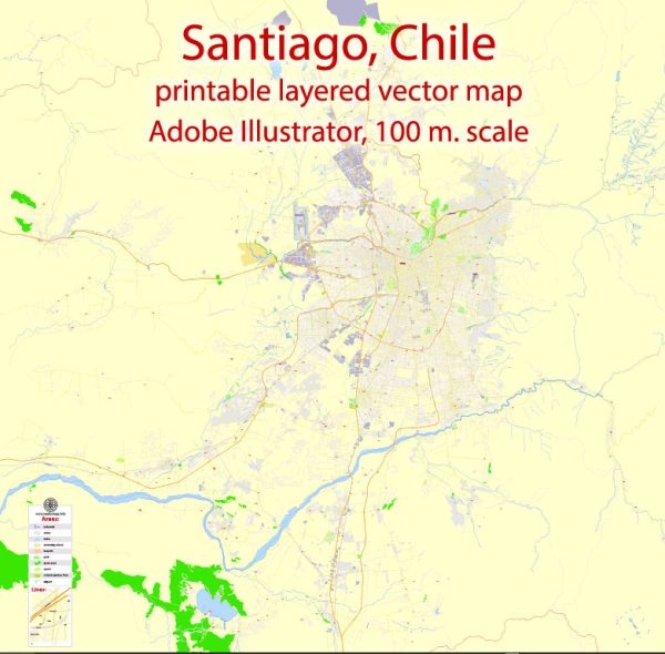
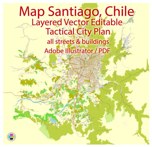
Santiago, the capital city of Chile, is located in a semi-arid region with limited water resources and a network of bridges that play a crucial role in transportation infrastructure. Here’s an overview of both aspects:
Water Resources:
- Maipo River: The primary source of freshwater for Santiago is the Maipo River, which flows through the city. This river is the main water supply for domestic, industrial, and agricultural use in the region.
- Aqua Sur: Santiago’s water supply also relies on groundwater from the underground aquifers of the Maipo Basin. However, over-extraction of groundwater has caused concerns about water scarcity and land subsidence.
- Water Scarcity: Santiago experiences periodic droughts and water scarcity issues due to its arid climate and growing population. This has led to a greater focus on water conservation and efficient use of water resources.
- Water Management: The Chilean government has implemented water management and allocation policies to address water scarcity issues. Water rights, trade, and regulations are crucial in managing water resources in the region.
Bridges:
- Puentes de Santiago: Santiago has a network of bridges that cross the Mapocho River, which runs through the city. Some of the prominent bridges include:
- Ponte do Papel: A historic bridge with a unique architectural design.
- Ponte Cal y Canto: Another iconic bridge in Santiago.
- Ponte do Patronato: Known for its location in the Patronato neighborhood.
- Pedestrian Bridges: Santiago also has several pedestrian bridges connecting various parts of the city, promoting walkability and enhancing urban connectivity.
- Transportation Infrastructure: Bridges in Santiago are essential for the city’s transportation system, connecting different neighborhoods and facilitating the flow of traffic, especially during rush hours.
- Bridge Development: Santiago continues to invest in the development and maintenance of its bridges to accommodate the growing population and improve the overall infrastructure.
Santiago’s water resources and bridges are essential elements in the city’s development and sustainability, especially in the face of water scarcity challenges and the need for efficient transportation infrastructure. Efforts are ongoing to manage and conserve water resources while ensuring the safety and efficiency of the bridge network.


 Author: Kirill Shrayber, Ph.D. FRGS