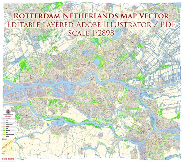
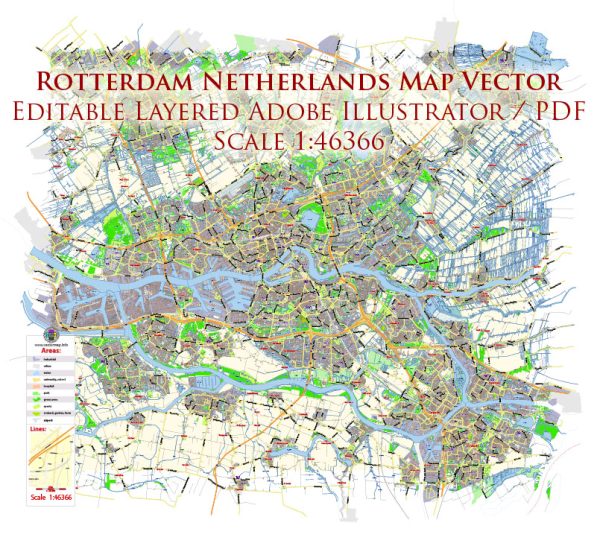
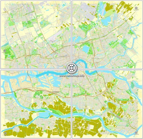
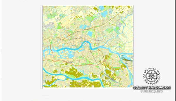
Rotterdam, a major port city in the Netherlands, is known for its extensive water resources and a complex network of bridges. Here’s some information about Rotterdam’s water resources and bridges:
- Port of Rotterdam: Rotterdam is home to one of the largest and busiest ports in the world, known as the Port of Rotterdam. This port plays a crucial role in the city’s economy and is a major gateway for goods entering and leaving Europe.
- Maas River: The city of Rotterdam is situated along the banks of the Maas River (Meuse River), which is a significant waterway in the region. The river serves as a key transportation route for both cargo and passenger traffic.
- Canals: Rotterdam has an extensive network of canals that crisscross the city. These canals are not only used for transportation but also contribute to the city’s drainage and water management systems.
- Water Management: Rotterdam is renowned for its innovative water management and flood protection systems. Given the city’s low-lying position and vulnerability to flooding, it has developed various strategies, such as the Maeslantkering storm surge barrier, to protect against rising sea levels and storm surges.
- Bridges: Rotterdam features a multitude of bridges that span its canals and waterways. Some of the notable bridges in the city include the Erasmus Bridge (Erasmusbrug), Willems Bridge (Willemsbrug), and the Van Brienenoord Bridge (Van Brienenoordbrug), among others. These bridges are not only functional but also architectural landmarks, adding to the city’s aesthetic appeal.
- Drawbridges: Rotterdam also has several drawbridges to accommodate the movement of ships in and out of the port. These drawbridges are raised and lowered to allow vessels with masts and superstructures to pass beneath them. Some well-known drawbridges in Rotterdam include the De Hef and the Koningshaven Bridge.
- Transport: Rotterdam’s extensive water resources play a crucial role in its transportation infrastructure. The city’s waterways, combined with its road and rail networks, facilitate the efficient movement of goods and people within the city and beyond.
Rotterdam’s relationship with water and its utilization of bridges and water management systems are integral to its identity as a port city and a hub for international trade and logistics. The city’s commitment to innovation and sustainability in managing its water resources makes it a unique and dynamic urban environment.

 Author: Kirill Shrayber, Ph.D.