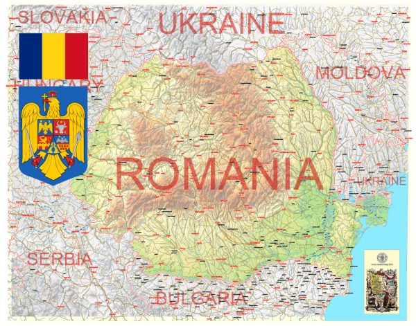
Romania is divided into several administrative units, with a hierarchical structure that includes counties, municipalities, towns, and communes. Here’s a brief description of Romania’s administrative territories:
- Counties (Județe):
- Romania is divided into 41 counties, each of which is further subdivided into municipalities, towns, and communes.
- Counties are the highest level of administrative division and are responsible for various local government functions, including education, healthcare, and transportation.
- Municipalities (Municipii):
- Municipalities are urban administrative units that have a higher level of autonomy compared to other localities within the county.
- They are typically larger cities and serve as important economic, cultural, and administrative centers.
- Towns (Orașe):
- Towns are smaller urban areas within counties and are generally less populous than municipalities.
- They have a certain level of administrative autonomy and provide local services to their residents.
- Communes (Comune):
- Communes are rural or semi-rural administrative units and represent the lowest level of local government in Romania.
- They consist of one or more villages and are responsible for local public services and infrastructure in their respective areas.
Romania’s administrative divisions may also include sectors in the case of Bucharest, the capital city. Bucharest is divided into six administrative sectors, each with its own mayor and local government.
The administrative divisions in Romania can change over time due to reforms and other factors. Therefore, it’s essential to refer to official sources and maps for the most up-to-date information on the country’s administrative territories.


 Author: Kirill Shrayber, Ph.D. FRGS