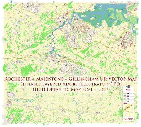
Rochester, Maidstone, and Gillingham are all towns located in the county of Kent, in the southeastern part of the United Kingdom. They are situated along the River Medway, and this river plays a significant role in the water resources and bridges in the region.
Water Resources:
- River Medway: The River Medway is the primary watercourse in this area. It flows through all three towns, providing water resources for various purposes, including agriculture, industry, and domestic use.
- Reservoirs and Lakes: There are several reservoirs and lakes in the surrounding area that contribute to the water resources. For instance, the Bewl Water Reservoir, located to the east of these towns, is one of the largest inland water bodies in England. It is primarily used for water supply and recreational activities.
- Groundwater: Groundwater is another source of water in the region. It is extracted through wells and boreholes for various purposes, including drinking water supply.
Bridges:
The River Medway is spanned by several bridges in the Rochester, Maidstone, and Gillingham area to facilitate transportation and connectivity:
- Maidstone Bridge: The town of Maidstone has a historic bridge that crosses the River Medway. This bridge provides a key transportation link in the area.
- M2 Motorway Bridge: The M2 motorway, which runs between Rochester and Gillingham, crosses the River Medway. This modern bridge is vital for road transport in the region.
- Medway Tunnel: While not a bridge, the Medway Tunnel is a significant transportation infrastructure that allows vehicles to cross the river beneath the water. It connects Strood (near Rochester) to Chatham (near Gillingham).
- Railway Bridges: The railway network in the area also has several bridges that cross the River Medway, connecting these towns with other parts of Kent and London.
These bridges and transportation links are essential for the movement of people and goods in the region and play a crucial role in the local economy.


 Author: Kirill Shrayber, Ph.D. FRGS