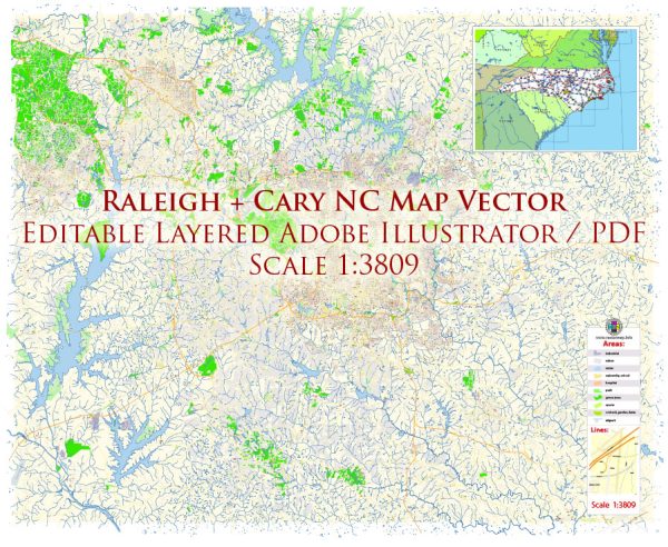
Raleigh, Cary, and Durham are cities located in the Research Triangle region of North Carolina, and they are served by a variety of water resources and bridges. Here’s an overview of the water resources and notable bridges in the area:
Water Resources:
- Raleigh-Durham International Airport – The airport serves the region and has its own water supply and infrastructure for various purposes.
- Lake Crabtree County Park – Located near Raleigh-Durham International Airport, this park features Lake Crabtree, which serves as a local water resource and recreational area.
- Falls Lake – This reservoir on the Neuse River is a significant water source for the region. It provides drinking water, recreation, and flood control.
- Jordan Lake – Another major reservoir, Jordan Lake, is also a crucial source of drinking water and offers recreational opportunities such as boating, fishing, and camping.
- City of Raleigh’s Water Supply – The City of Raleigh manages several water treatment plants and sources to provide clean water to its residents. Lake Wheeler and the Neuse River are among the primary sources.
- Town of Cary’s Water Supply – Cary’s water supply comes from various sources, including Jordan Lake, and it is managed by the town’s utilities department.
- City of Durham’s Water Supply – Durham gets its water from various sources, including the Little River Reservoir and Lake Michie, which are part of its water supply system.
Bridges:
- Dorothea Dix Bridge – This pedestrian bridge spans across Western Boulevard in Raleigh, connecting the Dorothea Dix Park with the city.
- Crabtree Creek Greenway Bridge – A bridge that crosses Crabtree Creek in Raleigh and is part of the city’s greenway system.
- Cary Parkway Bridge – Located in Cary, this bridge crosses over US-1 and provides an important route for commuters.
- Durham Freeway (NC 147) Bridges – The Durham Freeway, also known as NC 147, features numerous bridges and overpasses as it cuts through Durham, providing vital transportation routes.
- Falls of Neuse Road Bridge – This bridge crosses over the Neuse River in Raleigh, connecting North Raleigh with the rest of the city.
- I-40 Bridges – Several bridges along Interstate 40, which runs through the Triangle area, including bridges over the Neuse River, Crabtree Creek, and more.
- American Tobacco Trail Bridges – The American Tobacco Trail features several pedestrian and cycling bridges as it traverses through the Durham area.
These are just a few examples of the water resources and bridges in the Raleigh, Cary, and Durham area. These resources and infrastructure play a critical role in the daily life and development of the region.


 Author: Kirill Shrayber, Ph.D. FRGS