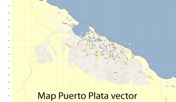
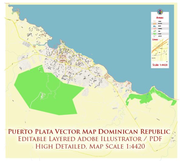
The history of Puerto Plata, located in the Dominican Republic, is intertwined with the broader history of the island of Hispaniola. Puerto Plata is one of the oldest European settlements in the Americas and has a rich history of colonization, trade, and cultural exchange. Here is an overview of the history of Puerto Plata:
- Indigenous Peoples: Before the arrival of Europeans, the island of Hispaniola was inhabited by the Taíno people. These indigenous people had a complex society and culture, but their population was significantly reduced due to disease, forced labor, and violence after the arrival of Christopher Columbus in 1492.
- European Colonization: Christopher Columbus, on his first voyage to the Americas, landed on the northern coast of Hispaniola in what is now Puerto Plata in 1492. He established the first Spanish settlement in the Americas, called La Isabela, just a few miles from Puerto Plata. This marked the beginning of European colonization in the region.
- Spanish Rule: Puerto Plata and the surrounding region became a hub of Spanish activity, including trade, agriculture, and mining. It was also an important port for ships traveling between the Old World and the New World.
- Pirate Attacks: During the 17th century, Puerto Plata was targeted by pirates and buccaneers, including Sir Francis Drake and William Kidd, who sought to capture the city and its wealth.
- French Occupation: In the late 17th century, the French briefly occupied Puerto Plata and the surrounding area. The city changed hands several times between the Spanish and the French during this period.
- Independence and the 19th Century: In the early 19th century, the Dominican Republic (then part of Spanish Santo Domingo) began to struggle for independence from Spanish colonial rule. Puerto Plata played a role in these events, and the city experienced political and social changes as a result.
- 20th Century: Puerto Plata continued to develop in the 20th century, with the growth of the tourism industry, which remains a vital part of the city’s economy to this day.
Today, Puerto Plata is known for its beautiful beaches, historical sites, and vibrant culture. It is a popular tourist destination with attractions such as the Amber Museum, the San Felipe Fortress, and the nearby Damajagua Waterfalls. Its history as one of the earliest European settlements in the Americas is an important aspect of its cultural heritage, making it a fascinating place to explore for history enthusiasts and tourists alike.


 Author: Kirill Shrayber, Ph.D. FRGS