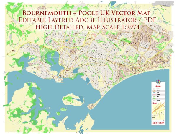
Both Poole and Bournemouth are coastal towns located in the South of England, and they have access to water resources through the English Channel. The primary sources of water for these towns are reservoirs, groundwater, and rivers. Water supply and distribution are managed by local water authorities, and they ensure a reliable supply of clean and safe drinking water to the residents.
Key points related to water resources and bridges in Poole and Bournemouth:
- Water Resources:
- Reservoirs: The area surrounding Poole and Bournemouth is served by several reservoirs, such as the Longham Lakes, Hatch Pond, and various smaller water bodies. These reservoirs play a crucial role in storing and supplying water to the local communities.
- Groundwater: The region also relies on groundwater sources, with wells and boreholes extracting water from underground aquifers.
- River Stour: The River Stour, which runs through the area, is another source of water. It provides a natural source of freshwater and is used for various purposes, including irrigation and recreation.
- Water Management:
- The local water companies, such as Wessex Water, are responsible for managing the water supply and distribution in Poole and Bournemouth.
- These companies ensure water quality through treatment processes and maintain the infrastructure necessary for water delivery.
- Bridges:
- Poole and Bournemouth have several bridges that span various water bodies, including rivers, canals, and harbors. These bridges are vital for transportation and connectivity.
- Key bridges include Poole Bridge, which connects Poole town center to the Sandbanks Peninsula, and the Bournemouth Pier Bridge, which provides access to the Bournemouth Pier.
- Coastal Areas:
- Being coastal towns, both Poole and Bournemouth have extensive shorelines along the English Channel. These coastal areas offer various recreational opportunities and play a significant role in the local economy.
It’s worth noting that the management of water resources and bridges is an essential aspect of urban planning and infrastructure development in these towns, as they are popular tourist destinations and have a growing population. Local government authorities, in collaboration with various agencies, work to maintain and improve these vital resources and structures to ensure the well-being and connectivity of the communities.


 Author: Kirill Shrayber, Ph.D. FRGS