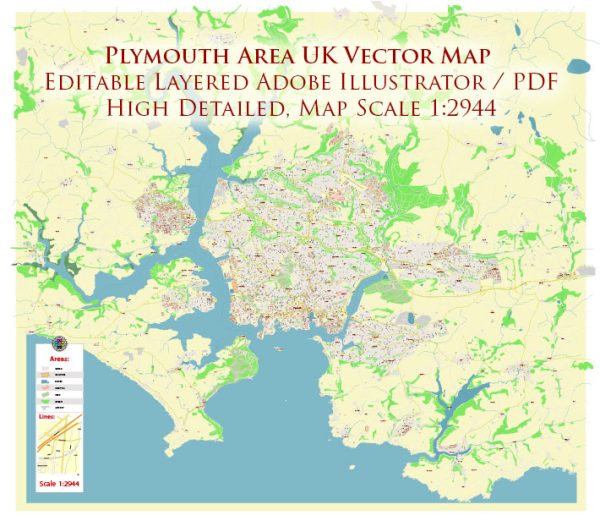
Plymouth is a vibrant coastal city in Devon, England, with a rich maritime history and a diverse range of neighborhoods and districts. Here’s a brief overview of some of the notable areas in Plymouth:
- City Centre: Plymouth’s city center is a bustling hub with a mix of shopping, dining, and entertainment options. It’s home to the Drake Circus Shopping Centre, the Theatre Royal, and the historic Royal Parade. The area offers a variety of housing options, from modern apartments to period townhouses.
- The Barbican: This historic area is one of Plymouth’s most charming neighborhoods. Its cobbled streets are lined with historic buildings, including the Mayflower Steps, where the Pilgrims are said to have set sail for America. The Barbican is known for its independent shops, pubs, and restaurants.
- Mutley: Located just to the north of the city center, Mutley is a bustling and diverse residential area. It’s popular among students, as it’s close to the University of Plymouth. Mutley Plain offers various shops, bars, and eateries, making it a lively neighborhood.
- Stoke: Situated to the north of the city center, Stoke is a predominantly residential area with a mix of housing styles, from Victorian and Edwardian homes to more modern developments. It’s a quieter part of Plymouth but still close to amenities.
- Plymstock: To the east of the city center, Plymstock is a largely residential area with a range of housing options. It’s known for its good schools and local amenities, including shops and parks. It’s a popular choice for families.
- Peverell: Located to the northwest of the city center, Peverell is a leafy suburb with a mix of housing styles. The area is known for its good schools and parks, making it a family-friendly neighborhood.
- Devonport: Historically an important naval area, Devonport is on the western side of the city. It’s home to Devonport Dockyard and has a strong naval heritage. The area is undergoing regeneration, with new housing developments and community improvements.
- Laira: Situated to the east of the city center, Laira is a residential area with various amenities, including schools and parks. It’s well-connected by road and public transport.
- Mannamead: This residential area to the northwest of the city center is known for its green spaces, including Central Park. It offers a mix of housing styles, including period properties and more modern homes.
- Stonehouse: Located near the city center and Devonport, Stonehouse is an area with a rich maritime history. It’s undergoing regeneration and offers a mix of housing options, including historic buildings and modern apartments.
These descriptions provide a general overview of Plymouth’s neighborhoods and districts. Keep in mind that each area has its own unique character, and the choice of where to live will depend on individual preferences and needs. Plymouth’s coastal location, historical sites, and educational institutions make it an attractive place to live for a wide range of people.


 Author: Kirill Shrayber, Ph.D. FRGS