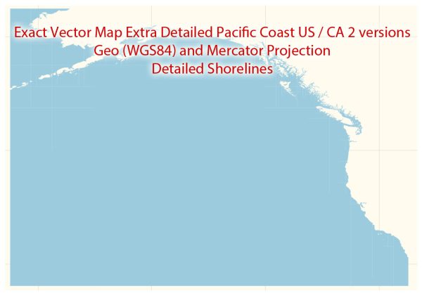
The Pacific Coast Highway (PCH) in California, also known as California State Route 1, is a famous and scenic road that runs along the Pacific coastline. It is one of the most beautiful and popular coastal drives in the United States. Here are some key points about the Pacific Coast Highway and the road system along the coast of California:
- Pacific Coast Highway (PCH): The PCH starts in Southern California in Dana Point and runs north along the coast through cities like Malibu, Santa Monica, and Santa Barbara. It continues north through Big Sur and ultimately reaches its northern terminus near Leggett, California.
- Scenic Beauty: The PCH offers breathtaking views of the Pacific Ocean, with numerous pull-off points and vista points where you can enjoy the scenery, take photographs, and even go hiking.
- Big Sur: The stretch of the PCH that goes through Big Sur is particularly famous for its rugged cliffs, redwood forests, and dramatic coastline.
- Closures and Repairs: The PCH is susceptible to closures and repairs due to landslides, rockslides, and other natural events. It’s a good idea to check for road conditions and closures before embarking on a trip.
- Other Coastal Roads: While the PCH is the most famous coastal road, there are other scenic drives along the California coast as well, including Highway 101. These roads offer different views and experiences.
- Historic Sites: Along the PCH, you can find historic sites and landmarks, such as the Hearst Castle in San Simeon and the Bixby Creek Bridge.
- Beach Towns: The PCH passes through several charming beach towns and communities where you can stop for a meal or explore local shops.
- Popular Destinations: The road connects to popular tourist destinations, such as Los Angeles, Santa Barbara, and San Francisco.
- Recreational Activities: The coastline offers opportunities for outdoor activities like surfing, hiking, and whale watching.
- Road Trip: Driving the entire length of the PCH can be a rewarding road trip, but it’s best to plan your journey carefully, considering the time of year, accommodations, and any road closures.
Please note that road conditions and accessibility can change, so it’s essential to check with local authorities and resources for up-to-date information before planning a trip on the Pacific Coast Highway or any coastal road in California.


 Author: Kirill Shrayber, Ph.D. FRGS