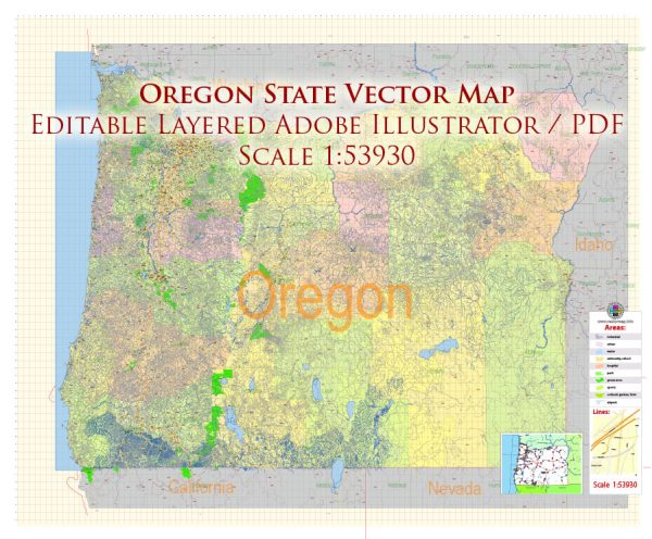
Oregon, located in the Pacific Northwest region of the United States, is known for its diverse water resources and numerous bridges. Here’s an overview of water resources and bridges in Oregon:
Water Resources:
- Columbia River: The Columbia River forms the northern border of Oregon and is one of the largest rivers in North America. It plays a crucial role in the region’s economy and transportation, with various dams for hydroelectric power, navigation, and irrigation.
- Willamette River: Flowing through the Willamette Valley, the Willamette River is a significant tributary of the Columbia River. It serves as a vital waterway for the transportation of goods and offers recreational opportunities.
- Deschutes River: This river flows through central Oregon and provides water for agriculture, recreation, and supports wildlife. The Deschutes River is famous for its scenic beauty and is a popular destination for fly fishing and rafting.
- Rogue River: Located in southwestern Oregon, the Rogue River is known for its rugged canyons and is popular for whitewater rafting, fishing, and hiking.
- Crater Lake: Crater Lake is the deepest lake in the United States and is located within Crater Lake National Park. It is renowned for its stunning blue color and is a popular tourist attraction.
- Groundwater: Oregon also relies on groundwater resources, especially in rural areas, for drinking water, irrigation, and industrial purposes.
Bridges: Oregon is home to a variety of bridges, both historic and modern, due to its numerous rivers and waterways. Some notable bridges in the state include:
- St. Johns Bridge: This iconic green suspension bridge spans the Willamette River in Portland. It is known for its Gothic arches and is a recognizable landmark.
- Fremont Bridge: Another bridge in Portland, the Fremont Bridge is a unique tied-arch bridge that carries Interstate 405 over the Willamette River.
- Astoria-Megler Bridge: This cantilever bridge connects Astoria, Oregon, with Washington State and spans the Columbia River, providing a critical transportation link in the region.
- Bridge of the Gods: Located in the Columbia River Gorge, this steel truss bridge is a popular attraction for hikers on the Pacific Crest Trail and offers stunning views of the gorge.
- Rogue River Bridge: This historic arch bridge crosses the Rogue River in Gold Beach, Oregon, and is a picturesque part of the region’s landscape.
- Hood River Bridge: Connecting Hood River, Oregon, with White Salmon, Washington, this cantilever bridge spans the Columbia River and is essential for regional transportation.
Oregon’s water resources and bridges are integral to the state’s economy, transportation, and recreation, making them key features of its geography and infrastructure.


 Author: Kirill Shrayber, Ph.D. FRGS