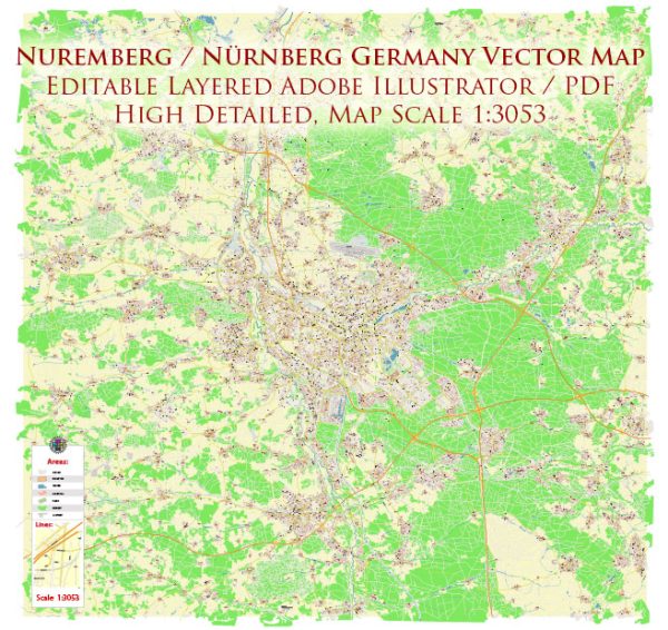
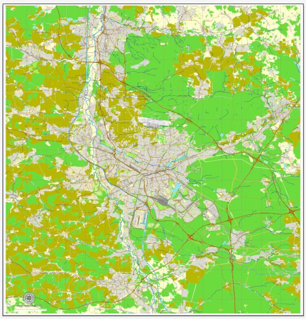
Nuremberg, a historic city in Bavaria, Germany, is divided into various districts and neighborhoods, each with its unique character and attractions. Here’s an overview of some of the key districts and neighborhoods in Nuremberg:
- Altstadt (Old Town):
- The heart of Nuremberg, Altstadt is a beautifully preserved medieval city center with charming cobblestone streets and half-timbered buildings.
- You’ll find major attractions like the Nuremberg Castle, St. Sebaldus Church, and the Main Market Square with the famous Beautiful Fountain (Schöner Brunnen).
- Altstadt is also known for its vibrant Christmas market during the holiday season.
- Gostenhof:
- Located just south of Altstadt, Gostenhof is an eclectic and trendy neighborhood with a bohemian atmosphere.
- It’s known for its artistic scene, vintage shops, and a variety of cafes, bars, and restaurants.
- Südstadt:
- This district is south of the old town and offers a mix of residential areas and green spaces.
- The Südpark, a large park with a lake, is a popular spot for outdoor activities.
- Maxfeld:
- Maxfeld is a quiet residential area northeast of the old town, known for its leafy streets and historic architecture.
- St. Johannis:
- St. Johannis is a predominantly residential area with a village-like atmosphere, located west of the old town.
- The St. Johannis Cemetery, one of the oldest in Europe, and the St. John’s Church are notable landmarks.
- Mögeldorf:
- Mogeldorf is a peaceful district with a rural touch, located to the northeast of Nuremberg.
- It’s a great place for those seeking a quieter suburban lifestyle while still being close to the city center.
- Tullnau:
- Situated to the northwest of the old town, Tullnau has seen recent redevelopment and modernization.
- It offers a mix of residential spaces and commercial areas.
- St. Leonhard:
- Located to the southeast of the old town, St. Leonhard is another residential district with a mix of historic and modern architecture.
- Gleißbühl:
- This neighborhood, just south of Altstadt, is home to the Nuremberg Central Station, making it a hub for transportation.
- It has a mix of commercial and residential areas.
- Wöhrd:
- Wöhrd is a district surrounded by the Pegnitz River, offering scenic views and parks.
- The Dokumentationszentrum Reichsparteitagsgelände (Documentation Center Nazi Party Rally Grounds) is located here.
- Marienvorstadt:
- Situated in the western part of the city, this district is known for its residential areas and educational institutions.
Each district and neighborhood in Nuremberg has its own unique charm and appeal. The city’s efficient public transportation system makes it relatively easy to explore and enjoy the various areas, whether you’re interested in history, culture, green spaces, or a vibrant nightlife.


 Author: Kirill Shrayber, Ph.D.