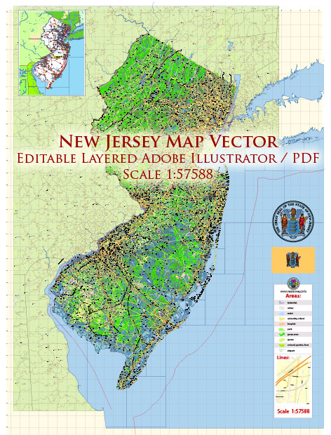
New Jersey, like many other states, has a complex network of water resources and bridges that play a crucial role in transportation and water management. Here’s an overview of some key aspects of these resources in New Jersey:
- Water Resources:
- Rivers and Streams: New Jersey is home to several major rivers and numerous smaller streams. The Delaware River forms the western border of the state, and the Hudson River borders it to the east. The Raritan River, Passaic River, and Hackensack River are some of the notable rivers within the state.
- Reservoirs and Lakes: New Jersey has several reservoirs and lakes used for water supply, recreation, and flood control. The state’s largest reservoir is the Round Valley Reservoir, while Lake Hopatcong is the largest natural lake.
- Aquifers: Groundwater is a critical water resource in New Jersey. The state relies on a network of aquifers for drinking water, irrigation, and industrial purposes.
- Water Management: The New Jersey Department of Environmental Protection (NJDEP) oversees water resource management in the state, including issues related to water quality, water supply, and water infrastructure.
- Bridges:
- Transportation Network: New Jersey has an extensive transportation network that relies heavily on bridges. The state is known for its numerous road and rail bridges that connect different regions.
- Notable Bridges: Some of the most well-known bridges in New Jersey include the George Washington Bridge, connecting Fort Lee, NJ, with New York City; the Pulaski Skyway, a major roadway; and the Ben Franklin Bridge, linking Camden, NJ, with Philadelphia, PA.
- Maintenance and Infrastructure: Like many states, New Jersey faces challenges related to the maintenance and modernization of its aging bridge infrastructure. The state government and various agencies work to ensure the safety and reliability of these structures.
- Bridge Safety: The New Jersey Department of Transportation (NJDOT) and other relevant agencies are responsible for inspecting and maintaining bridges to ensure they meet safety standards.
It’s important to note that the specific water resources and bridges in New Jersey can change over time due to construction, maintenance, and infrastructure development. If you need more specific information about particular water resources or bridges in New Jersey, it’s recommended to contact the relevant state and local authorities or agencies responsible for these assets.


 Author: Kirill Shrayber, Ph.D. FRGS