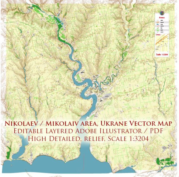
Mykolaiv, a city in southern Ukraine, is divided into several districts and neighborhoods, each with its own unique characteristics and atmosphere. Overview of some of the most well-known areas in the city.
- Central District (Tsentralnyi Raion): This is the heart of Mykolaiv and home to many historic and administrative buildings. The central square, Soborna Ploshcha, is a focal point with various shops, cafes, and cultural institutions.
- Korabelnyi District: This district is known for its maritime heritage. It’s home to shipyards, marine-related businesses, and the picturesque Admiral’s Alley along the Ingul River.
- Leninskyi District: Located in the western part of the city, this district has a mix of residential areas, parks, and shopping centers. It is a quieter and more residential part of Mykolaiv.
- Zavodskyi District: This industrial district is characterized by factories and warehouses. It is less residential and more focused on industrial and commercial activities.
- Vesniane Neighborhood: This neighborhood, located to the east of the city, is a more recently developed area with a mix of residential and commercial spaces.
- Voskresenka Neighborhood: In the southeastern part of Mykolaiv, Voskresenka is a residential area with a variety of housing options and some small parks.
- Kulbakino Neighborhood: This neighborhood is known for its green spaces and parks, making it a quieter and more suburban area.
- Sadove Neighborhood: Located to the north of the city center, Sadove is a well-established residential area with schools, parks, and various amenities.
- Chervona Street: This street runs through the central part of the city and is known for its historic architecture, shops, and cafes.
Please note that urban development may have changed in Mykolaiv since my last update, and new districts or neighborhoods may have emerged. For the most current and detailed information, it’s a good idea to consult local sources or city authorities. Mykolaiv is a vibrant city with a mix of historic and modern elements, and each district and neighborhood contributes to its unique character.


 Author: Kirill Shrayber, Ph.D. FRGS