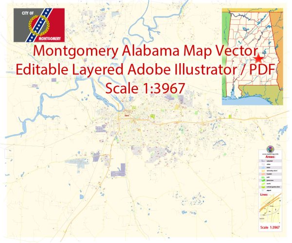
Montgomery, Alabama, is divided into several districts and neighborhoods, each with its own unique character and features. Here is an overview of some of the prominent districts and neighborhoods in Montgomery:
- Downtown:
- Downtown Montgomery is the heart of the city and features historic landmarks such as the Alabama State Capitol, the Civil Rights Memorial, and the Dexter Parsonage Museum.
- It’s a hub for government offices, businesses, and cultural institutions.
- You’ll find a mix of historic architecture, restaurants, shops, and entertainment venues.
- Old Cloverdale:
- Old Cloverdale is a charming, tree-lined neighborhood with a blend of historic homes, boutiques, and dining options.
- It’s home to the Cloverdale Historic District and the Capri Theatre, a local landmark.
- This area has a strong sense of community and is popular among families and professionals.
- Garden District:
- The Garden District is known for its historic homes with well-maintained gardens, giving it a quaint and picturesque atmosphere.
- It’s a residential neighborhood with a mix of architectural styles, including bungalows and cottages.
- You’ll find local parks and access to the city’s amenities in this district.
- Eastside:
- The Eastside of Montgomery is a predominantly residential area with various neighborhoods like Bell Road, Dalraida, and Sturbridge.
- It offers a suburban feel and is popular among families and those seeking quieter surroundings.
- Shopping centers, schools, and parks are conveniently located in this district.
- Forest Park:
- Forest Park is an established neighborhood featuring mid-20th century homes and well-kept lawns.
- It has a strong sense of community and hosts various events throughout the year.
- The area is known for its proximity to local schools and parks.
- Cloverdale/Idlewild:
- This district is located near Old Cloverdale and offers a mix of residential areas and green spaces.
- It’s known for the Montgomery Museum of Fine Arts and the picturesque cloverleaf roundabout.
- The neighborhood has a blend of architectural styles and a sense of community.
- Hampstead:
- Hampstead is a planned community offering a modern and walkable lifestyle with a mix of residential options, shops, and restaurants.
- It’s known for its New Urbanism design and a strong focus on community engagement and sustainability.
- Hampstead features parks, a town square, and amenities for its residents.
- South Hull:
- South Hull is a diverse neighborhood located near downtown Montgomery.
- It’s known for its historic homes, cultural diversity, and vibrant atmosphere.
- The area is experiencing revitalization and is home to various local businesses.
These are just a few of the many neighborhoods and districts in Montgomery, each offering a unique experience and catering to a variety of preferences and lifestyles. Montgomery is a city with a rich history and a growing modern identity, making it an attractive place to live and explore.


 Author: Kirill Shrayber, Ph.D. FRGS