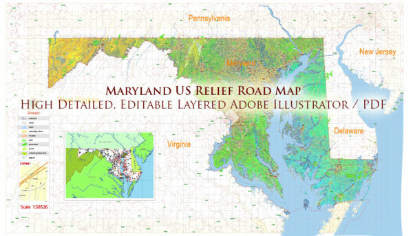
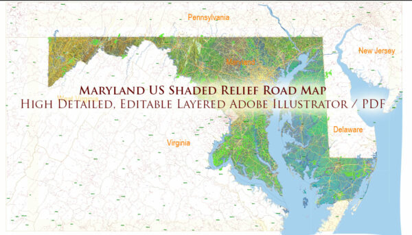
Maryland is known for its extensive water resources and a network of bridges that play a crucial role in facilitating transportation and commerce throughout the state. Here’s an overview of Maryland’s water resources and some notable bridges within the state:
Water Resources:
- Chesapeake Bay: Maryland is famously home to the Chesapeake Bay, the largest estuary in the United States. The bay plays a vital role in the state’s culture, economy, and environment. It supports a diverse range of marine life and provides recreational opportunities for residents and tourists.
- Rivers: Maryland is crisscrossed by several significant rivers, including the Potomac River, the Patapsco River, the Susquehanna River, and the Anacostia River. These rivers provide water resources, recreational activities, and transportation routes.
- Aquifers: The state has several groundwater aquifers that supply drinking water to its residents. Proper management and conservation of these aquifers are essential for ensuring a reliable water supply.
- Reservoirs: Maryland has numerous reservoirs and lakes, including the Liberty Reservoir, Loch Raven Reservoir, and Prettyboy Reservoir, which provide drinking water to the Baltimore metropolitan area.
Notable Bridges:
- Chesapeake Bay Bridge: This iconic bridge system connects Maryland’s eastern and western shores across the Chesapeake Bay. It consists of two parallel spans, the original “Bay Bridge” (opened in 1952) and the newer “Chesapeake Bay Bridge-Tunnel” (opened in 1973). These bridges are critical for transportation, commerce, and tourism.
- Francis Scott Key Bridge: This bridge, also known as the Key Bridge, crosses the Patapsco River’s entrance to the Baltimore Harbor. It is a key transportation link for the Baltimore metropolitan area, connecting the city with neighboring regions.
- Bay Bridge (William Preston Lane Jr. Memorial Bridge): The William Preston Lane Jr. Memorial Bridge is the original span of the Chesapeake Bay Bridge. It is a historic structure that spans the Chesapeake Bay and has been a vital transportation corridor in the state for decades.
- Woodrow Wilson Bridge: Located near the border of Maryland and Virginia, the Woodrow Wilson Bridge carries Interstate 95 and Interstate 495 over the Potomac River. It plays a significant role in the transportation network of the Washington, D.C. metropolitan area.
- Nice Bridge (Harry W. Nice Memorial Bridge): This bridge spans the Potomac River, connecting Maryland and Virginia. It facilitates transportation between Southern Maryland and Northern Virginia.
These are just a few examples of Maryland’s water resources and bridges. The state’s extensive network of waterways and bridges is essential for its economy and transportation infrastructure, enabling the movement of goods and people throughout the region.


 Author: Kirill Shrayber, Ph.D. FRGS