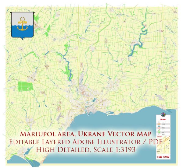
General socio-economic description of Mariupol, Ukraine. However, please note that the situation in the city and the country may have evolved since then due to various factors, including political developments and the ongoing conflict in Eastern Ukraine.
Mariupol is a city located in the southeastern part of Ukraine, in the Donetsk Oblast (province) on the northern coast of the Sea of Azov. Here are some key socio-economic characteristics of Mariupol:
- Industry and Economy: Historically, Mariupol has been an industrial city with a strong emphasis on steel production, heavy machinery manufacturing, and metallurgy. It is home to major industrial enterprises, such as the Ilyich Steel and Iron Works, which have been significant contributors to the city’s economy. The city has been an important center for steel production in Ukraine.
- Trade and Commerce: Due to its strategic location on the coast of the Sea of Azov, Mariupol has a well-developed port that facilitates trade and commerce in the region. The port handles various goods, including steel products, grain, and other bulk commodities. This port plays a crucial role in connecting Ukraine to international markets.
- Employment: Steel and heavy industry traditionally provide a significant portion of employment in Mariupol. However, like many industrial cities, the economy has faced challenges, and there have been fluctuations in employment opportunities over the years.
- Challenges: Mariupol has faced challenges due to the conflict in Eastern Ukraine, with the city being close to the front lines. This conflict has disrupted the local economy, resulted in population displacement, and caused infrastructure damage.
- Cultural and Educational Institutions: Mariupol is home to various cultural and educational institutions, including universities, museums, and theaters, which have contributed to the city’s cultural and intellectual life.
- Demographics: The population of Mariupol is diverse, with Ukrainians, Russians, and other ethnic groups living in the city. The demographics may have been affected by the conflict and displacement of people.
Situation in Mariupol and the wider region may have changed significantly since my last update, so it’s important to consult current sources and news reports for the most recent information about the city’s socio-economic conditions.


 Author: Kirill Shrayber, Ph.D. FRGS