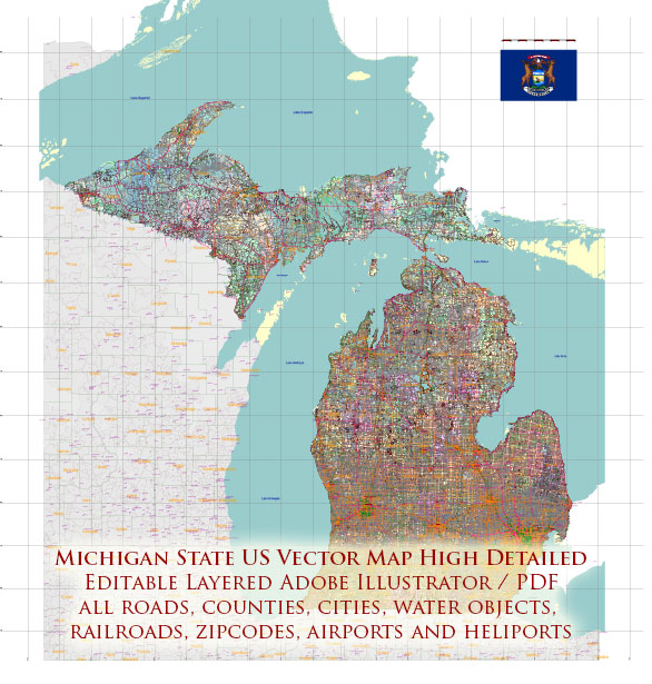
Michigan, located in the Great Lakes region of the United States, is a diverse state with a rich history and a complex socio-economic profile. Here is a general overview of Michigan’s socio-economic characteristics:
- Economy: Michigan has a diverse economy that has evolved over the years. Traditionally known as the “automotive capital” of the world, the state has a significant presence in the automotive industry with Detroit, also known as the “Motor City,” being a major hub. However, Michigan has been working to diversify its economy. It is also involved in manufacturing, healthcare, technology, agriculture, and tourism.
- Automotive Industry: Michigan’s economy has long been closely tied to the automotive industry. Major automakers like General Motors, Ford, and Stellantis (formerly Fiat Chrysler) have their headquarters or significant operations in the state. This has led to both economic prosperity and challenges, as the industry is subject to economic cycles and global competition.
- Manufacturing: Beyond automotive, Michigan has a strong manufacturing base, producing a wide range of goods, including machinery, chemicals, and aerospace products. Manufacturing jobs are a significant part of the state’s employment landscape.
- Agriculture: Agriculture is a vital sector in Michigan, producing a variety of crops, including corn, soybeans, cherries, apples, and blueberries. The state is known for its fruit production and is a leader in cherry and apple cultivation.
- Education: Michigan is home to several well-regarded universities, including the University of Michigan, Michigan State University, and Wayne State University. Higher education is a key driver of research, innovation, and workforce development in the state.
- Tourism: Michigan’s natural beauty, with its Great Lakes, forests, and outdoor recreational opportunities, makes it a popular destination for tourists. The state offers activities such as boating, camping, hiking, and winter sports.
- Urban-Rural Divide: Michigan has a significant urban-rural divide. While cities like Detroit, Grand Rapids, and Ann Arbor have vibrant economies and cultural scenes, there are rural areas in the state facing economic challenges, including population decline and limited access to services.
- Challenges: Michigan has faced challenges, including issues related to urban blight, declining population in some areas, and environmental concerns, particularly with regard to water quality in cities like Flint. The state has been working to address these issues.
- Diversity: Michigan is a diverse state with a mix of racial and ethnic groups. Cities like Detroit have a predominantly African American population, while there are also significant Hispanic and Arab American communities in various parts of the state.
- Political Landscape: Michigan has been a politically competitive state with a mix of urban and rural interests. The state has been a key battleground in national elections.
It’s important to note that Michigan’s socio-economic characteristics can vary significantly from one region to another, and the state’s economic and social landscape is subject to change over time. To get the most up-to-date and region-specific information, it’s advisable to refer to local government reports, economic data, and community resources.


 Author: Kirill Shrayber, Ph.D. FRGS