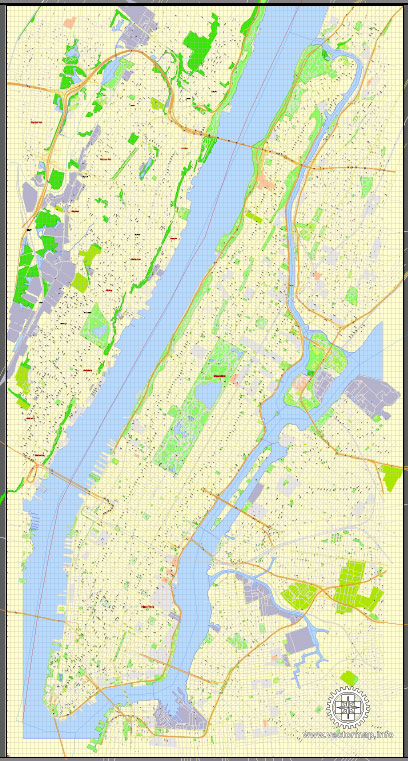
New York City, including Manhattan, is located on a series of islands and is surrounded by water bodies, making water resources and bridges crucial for its infrastructure and transportation. Here’s an overview of Manhattan’s water resources and some of its iconic bridges:
Water Resources:
- Hudson River: The Hudson River flows along the western edge of Manhattan. It is a significant water body for the city and provides a route for both commerce and recreation.
- East River: The East River runs along the eastern edge of Manhattan. Despite its name, the East River is technically a tidal strait that connects Long Island Sound to Upper New York Bay. It separates Manhattan from Brooklyn and Queens.
- New York Harbor: This is the area where the Hudson River meets the Atlantic Ocean. It’s a critical waterway for international trade and transportation, and it’s home to the famous Statue of Liberty.
- Reservoirs and Water Supply: While most of the city’s drinking water comes from upstate reservoirs, the city’s Department of Environmental Protection manages a vast water supply system that includes the Croton, Catskill, and Delaware watersheds.
Bridges: Manhattan is connected to the surrounding boroughs and regions through a network of bridges. Some of the most notable bridges in and around Manhattan include:
- Brooklyn Bridge: This iconic suspension bridge connects Manhattan and Brooklyn over the East River. It was completed in 1883 and is known for its distinctive neo-Gothic architecture.
- Williamsburg Bridge: Also spanning the East River, the Williamsburg Bridge connects Manhattan’s Lower East Side with Brooklyn’s Williamsburg neighborhood. It is a suspension bridge known for its innovative design.
- Manhattan Bridge: This bridge, another East River crossing, connects Lower Manhattan to Brooklyn and Queens. It features a unique double-deck design.
- George Washington Bridge: Connecting Manhattan to New Jersey across the Hudson River, the George Washington Bridge is one of the busiest bridges in the world. It has both upper and lower decks for vehicular traffic.
- Queensboro Bridge (59th Street Bridge): This cantilever bridge connects Manhattan to Queens over the East River. It’s a significant transportation route for both vehicles and the subway.
- Holland Tunnel and Lincoln Tunnel: While not technically bridges, these underwater vehicular tunnels connect Manhattan to New Jersey. They play a vital role in regional transportation.
- Triborough Bridge (Robert F. Kennedy Bridge): This complex of bridges and viaducts connects Manhattan, the Bronx, and Queens. It’s a major hub for transportation in the city.
- Macombs Dam Bridge: Spanning the Harlem River, this bridge connects Manhattan and the Bronx. It’s an important link for both vehicular and pedestrian traffic.
These bridges and water resources are essential to the daily functioning of Manhattan and the entire New York City metropolitan area, facilitating transportation, commerce, and recreation.


 Author: Kirill Shrayber, Ph.D. FRGS