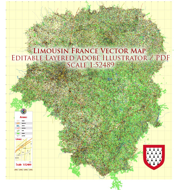
Limousin was one of the administrative regions in France until January 1, 2016, when it was merged with the regions of Poitou-Charentes and Aquitaine to form the new administrative region of Nouvelle-Aquitaine.
Limousin was located in the central part of France and was known for its picturesque landscapes, rolling hills, and lush forests. It was a relatively small region compared to some of the other regions in France. Here’s a brief overview of the administrative territories within the former Limousin region:
- Corrèze: Corrèze was one of the three departments that made up Limousin. It was known for its natural beauty, with numerous rivers, lakes, and forests. The town of Tulle served as the capital of this department.
- Creuse: Creuse was another department in Limousin, and it was named after the Creuse River. It was characterized by its tranquil countryside, charming villages, and historic sites. The departmental capital was Guéret.
- Haute-Vienne: Haute-Vienne was the third and final department in the Limousin region. Limoges, the largest city in Limousin, was the capital of Haute-Vienne. This department was known for its cultural heritage, including porcelain production and historic architecture.
Limousin was celebrated for its unspoiled natural beauty, with many opportunities for outdoor activities such as hiking, fishing, and wildlife observation. The region was also famous for its traditional Limousin beef cattle, which are known for their high quality and used in gourmet cuisine.
In terms of culture, Limousin had a rich history, and it was known for its festivals, traditions, and local crafts. The region was also known for its culinary specialties, including dishes like “clafoutis” and “pâté de pommes de terre.”
The administrative regions in France have been restructured, and Limousin, as a separate administrative entity, no longer exists as of 2016. It is now part of the larger Nouvelle-Aquitaine region, which includes the former regions of Limousin, Poitou-Charentes, and Aquitaine.


 Author: Kirill Shrayber, Ph.D. FRGS