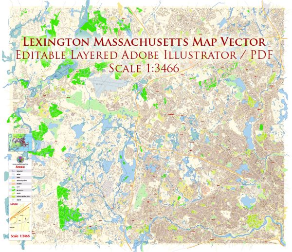
Lexington, Massachusetts, is a historic town located in Middlesex County, just northwest of Boston. It is known for its rich history, picturesque landscapes, and a strong sense of community. While Lexington is not divided into distinct city districts like larger cities, it does have several neighborhoods and areas of interest that you might find appealing:
- Lexington Center: This is the heart of Lexington, where you’ll find the town common, a historic district, and many small businesses, restaurants, and shops. The Battle Green, where the first battle of the American Revolution took place, is also located in Lexington Center.
- Munroe Hill: This neighborhood is close to the center and is characterized by picturesque homes, tree-lined streets, and a suburban feel. It’s a popular residential area.
- Meriam Hill: This area features beautiful homes and a pleasant atmosphere. It’s known for its historic architecture and proximity to schools and parks.
- Five Fields: Five Fields is a residential neighborhood known for its modernist architecture. It’s a unique and contemporary community that stands out in Lexington.
- East Lexington: This part of town is more urban and features a mix of residential areas, schools, and commercial establishments. It’s known for its easy access to public transportation.
- North Lexington: This neighborhood is known for its charming houses, recreational facilities, and easy access to walking and biking trails.
- Liberty Heights: Located near the Arlington border, this area offers a mix of residential neighborhoods and open green spaces.
- The Manor: The Manor is a residential neighborhood with well-maintained homes and a peaceful atmosphere.
- West Lexington: This area is characterized by beautiful homes, schools, and parks. It has a suburban feel and is great for families.
- Clarke: Clarke is a quiet, residential neighborhood that’s close to the town center and public schools.
Lexington’s neighborhoods offer a range of housing options and a strong sense of community. The town is also known for its excellent public schools, recreational activities, and cultural events. If you’re interested in history, you’ll find numerous historical sites and museums throughout Lexington. Additionally, the town’s commitment to green spaces and conservation areas means there are plenty of opportunities for outdoor activities and nature exploration.


 Author: Kirill Shrayber, Ph.D. FRGS