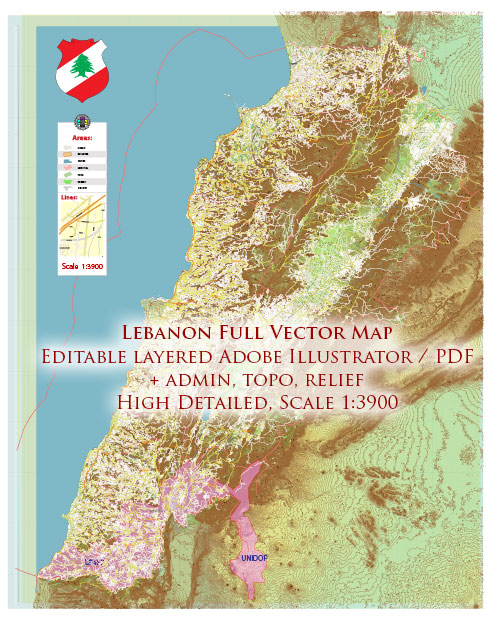
Lebanon is divided into several administrative territories, which include governorates, districts, and municipalities. Here is an overview of these administrative divisions:
- Governorates (Muhafazat): Lebanon is divided into eight governorates, which are the highest-level administrative divisions. Each governorate is headed by a governor who is appointed by the central government. The governorates are: a. Beirut Governorate b. Mount Lebanon Governorate c. North Governorate d. South Governorate e. Bekaa Governorate f. Nabatieh Governorate g. Akkar Governorate h. Baalbek-Hermel Governorate
- Districts (Caza): Each governorate is further divided into districts, known as “cazas” in Lebanon. There are a total of 25 cazas in Lebanon, and each caza is typically named after its main city or town.
- Municipalities: Lebanon is divided into numerous municipalities, each responsible for local administration, services, and development within its defined area. The number of municipalities is quite extensive, as Lebanon has a large number of towns and cities. These municipalities are responsible for issues such as public services, zoning, and local governance.
- Municipal Unions: Municipal Unions, also known as “Union of Municipalities” (اتحاد بلديات), are regional groupings of municipalities that work together on common projects and issues, such as infrastructure development and regional planning. These unions help coordinate efforts and resources among municipalities in a specific area.
It’s important to note that the administrative structure of Lebanon has faced challenges and changes over the years due to political and social factors. The country’s complex sectarian system has had an impact on its administrative divisions and governance. Additionally, Lebanon has experienced periods of instability, which have further influenced the organization of its administrative territories.
Keep in mind that the specific administrative divisions and boundaries within Lebanon may evolve, so it’s advisable to consult official government sources for the most up-to-date information on Lebanon’s administrative structure.


 Author: Kirill Shrayber, Ph.D. FRGS