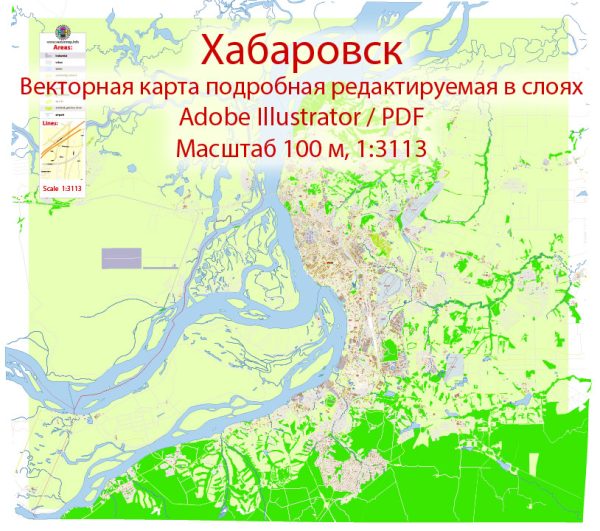
Khabarovsk is a major city in the Russian Far East, and it serves as the administrative center of Khabarovsk Krai. The city is located near the confluence of the Amur and Ussuri Rivers, which makes it an important cultural, economic, and transportation hub in the region. Khabarovsk is divided into several administrative districts and neighborhoods, each with its own unique characteristics and features. Here are some of the city’s districts and neighborhoods:
- Leninsky District: This is one of the central districts of Khabarovsk. It’s known for its administrative buildings, shopping centers, and cultural institutions. The Lenin Square is a prominent feature, and it’s often the site of various events and celebrations.
- Krasnoflotsky District: Located along the Amur River, this district offers beautiful river views. It’s home to the Amur Cliff, a popular spot for taking in the scenic landscapes. The district also has a mix of residential and commercial areas.
- Dzerzhinsky District: This district is a mix of residential neighborhoods, educational institutions, and recreational areas. It’s known for its parks and proximity to the Amur River.
- Soviet District: The Soviet District is in the city center and contains a mix of residential and commercial areas. You’ll find various shops, restaurants, and cultural sites here.
- Railway Station District: As the name suggests, this district is centered around Khabarovsk’s railway station. It’s a transportation hub with various hotels and services for travelers.
- Industrial District: This area is home to a mix of industrial and residential zones. It has various factories, warehouses, and industrial facilities.
- Kirovsky District: Located on the left bank of the Amur River, Kirovsky District offers beautiful riverfront views. It’s a mix of residential and commercial areas with parks and green spaces.
- Oktyabrsky District: This district is located to the south of the city center and offers a mix of residential neighborhoods and commercial areas. It’s known for its educational institutions.
- Central District: The Central District encompasses the heart of Khabarovsk and includes some of the city’s most prominent landmarks, such as Lenin Square, the Regional Museum, and the Amur River embankment. It’s a bustling area with a wide range of amenities and services.
- Khabarovsk-40 (Secret City): This district, previously known as Khabarovsk-40, was a secret city during the Soviet era. It was the site of a nuclear research facility, and access to this area was highly restricted. It’s located to the west of the city center.
These are some of the main districts and neighborhoods in Khabarovsk. Each has its own character and attractions, offering a diverse urban experience in this important city in the Russian Far East.


 Author: Kirill Shrayber, Ph.D. FRGS