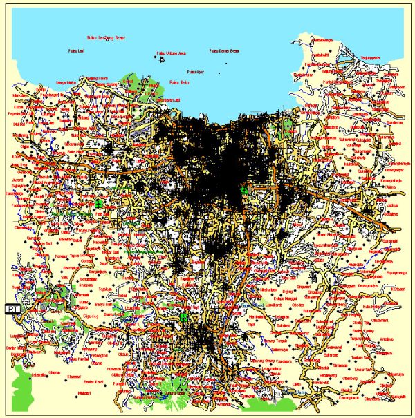
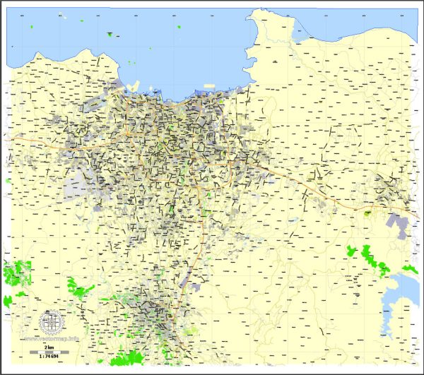
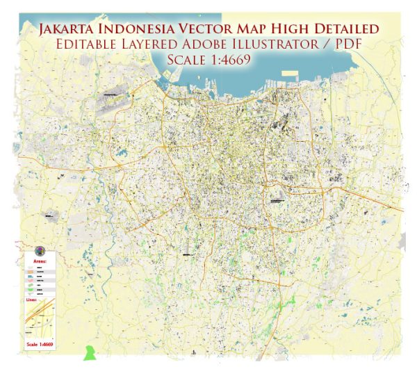
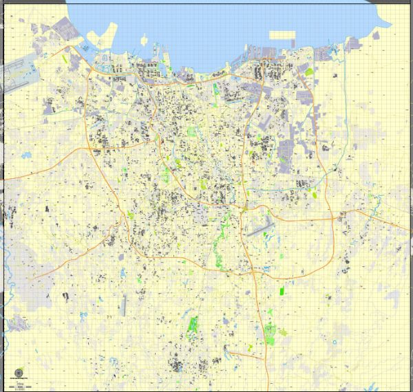
Jakarta, the capital city of Indonesia, is a sprawling metropolis with a population of over 10 million people. It is divided into several districts, each with its own unique characteristics and neighborhoods. Here are some of the main districts and a brief description of their neighborhoods:
- Central Jakarta (Jakarta Pusat):
- Thamrin and Sudirman: These are the central business districts of Jakarta, filled with modern skyscrapers, luxury hotels, and shopping malls.
- Menteng: A historic and upscale residential area known for its tree-lined streets and colonial architecture.
- North Jakarta (Jakarta Utara):
- Ancol: A beachfront area with a popular amusement park and recreational facilities.
- Tanjung Priok: Jakarta’s main port and industrial district.
- West Jakarta (Jakarta Barat):
- Glodok: Also known as Jakarta’s Chinatown, it’s a bustling area with a rich cultural heritage and a wide variety of street food.
- Taman Anggrek: Home to one of Jakarta’s largest shopping malls.
- East Jakarta (Jakarta Timur):
- Kelapa Gading: A modern residential and commercial area with numerous malls and a thriving food scene.
- Cibubur: A growing suburban area with residential developments.
- South Jakarta (Jakarta Selatan):
- Kemang: A trendy neighborhood with a vibrant nightlife scene, popular among expats and locals.
- Senayan: Known for sports facilities, including the Gelora Bung Karno Stadium, and upscale shopping malls.
- West Jakarta (Jakarta Barat):
- Pondok Indah: A wealthy residential area with high-end shopping centers and golf courses.
- Kebon Jeruk: A mix of residential and commercial areas with various middle-class and upscale housing.
- South Jakarta (Jakarta Selatan):
- Fatmawati: Known for its affordable housing options and proximity to schools and universities.
- Pondok Labu: A peaceful residential area with a suburban atmosphere.
- Depok (technically a separate city, but closely connected to Jakarta):
- Depok Timur: A growing urban area with various housing options, including apartments and landed houses.
- Depok Baru: A more suburban part of Depok, with a more relaxed atmosphere.
Jakarta is a dynamic and rapidly changing city, and the descriptions of neighborhoods can evolve over time. Traffic congestion can be a significant issue in Jakarta, so many people choose their neighborhoods based on their daily commute to work and other factors. The city offers a diverse range of living environments, from bustling urban centers to more tranquil suburban areas, catering to a variety of lifestyles and preferences.


 Author: Kirill Shrayber, Ph.D. FRGS