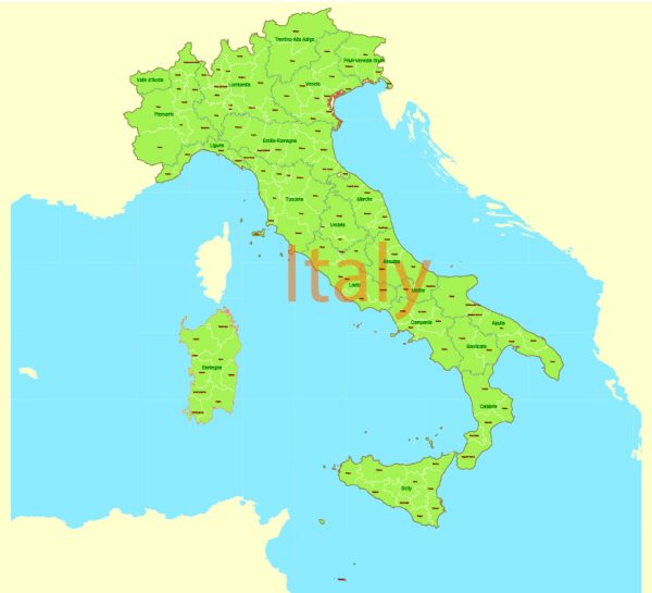
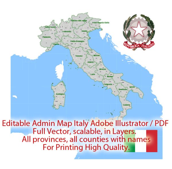
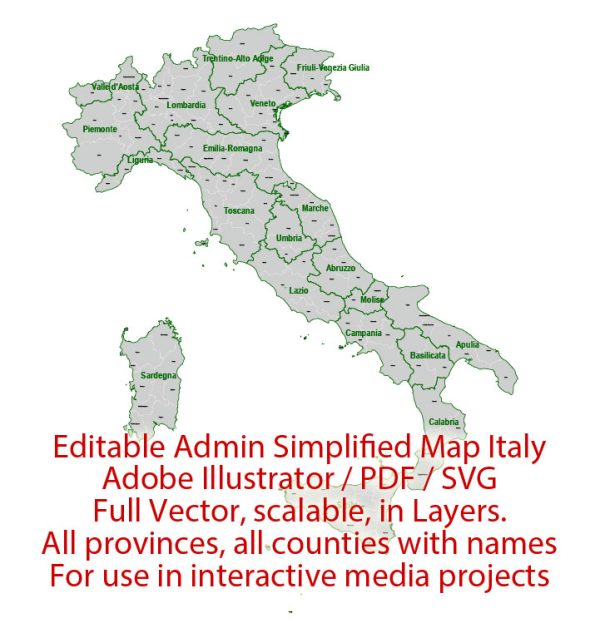
Italy is divided into a complex administrative structure that includes several different levels of territorial divisions. The key administrative territories in Italy include:
- Regions (Regioni): Italy is divided into 20 regions, each with its own regional government. These regions have significant autonomy and are responsible for various aspects of governance, including education, healthcare, transportation, and local development. Some of the most well-known regions in Italy include Lombardy, Veneto, Tuscany, Sicily, and Lazio (where Rome is located).
- Provinces (Province): Each region is further subdivided into provinces. There were 110 provinces in Italy until 2014 when they were reduced to 107 for administrative efficiency. Provinces have their own local governments and are responsible for managing public services within their territory. Provinces are further subdivided into municipalities.
- Municipalities (Comuni): Italy has thousands of municipalities, each of which is governed by a local mayor and council. These are the most local form of government and are responsible for services such as local police, schools, and urban planning.
- Metropolitan Cities (Città Metropolitane): In some regions, particularly in the north, the province level of administration has been replaced by metropolitan cities. Metropolitan cities have broader administrative and planning powers, especially in densely populated areas.
- Autonomous Regions: Italy has five regions with a special autonomous status: Sardinia, Sicily, Trentino-Alto Adige/Südtirol, Aosta Valley, and Friuli-Venezia Giulia. These regions have more control over their affairs, including language and education.
- Special Statute Regions: Within the autonomous regions, Trentino-Alto Adige/Südtirol has a unique status with significant autonomy, including its own constitution and a high degree of self-governance. The Aosta Valley also has a special statute, granting it a certain level of autonomy.
- Islands: Italy includes several islands, the largest and most significant of which are Sicily and Sardinia. These islands have their own administrative structures but are ultimately part of the Italian Republic.
- Historical and Cultural Regions: Italy is also known for its historical and cultural regions, each with its own distinct character, cuisine, and traditions. These regions are not official administrative divisions but are important for cultural and tourism purposes. Examples include Tuscany, Campania, and Lombardy.

 Author: Kirill Shrayber, Ph.D. FRGS