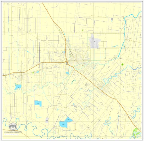
Harlingen, Texas, is a city located in the southern part of the state, in the Rio Grande Valley. As of my last knowledge update in September 2021, I can provide a general socio-economic description of Harlingen, but please note that economic and demographic conditions may have evolved since then. Here’s a snapshot of the socio-economic characteristics of the city:
- Economy: The economy of Harlingen has traditionally been based on agriculture, trade, and healthcare. The city serves as a major center for trade with Mexico due to its proximity to the U.S.-Mexico border.
- Population: Harlingen is a medium-sized city, and its population is diverse. The city has a mix of ethnicities, with a significant Hispanic population.
- Income: Median household income in Harlingen has historically been lower than the national average, making it one of the more economically challenged areas in the United States. This is in part due to the nature of the local economy.
- Cost of Living: The cost of living in Harlingen is generally lower than in many other parts of the United States. Housing costs are particularly affordable.
- Education: Harlingen has a number of public and private schools, including Harlingen Consolidated Independent School District. Educational attainment levels vary, with a significant portion of the population having a high school education or less.
- Healthcare: The city is home to several healthcare facilities and medical centers, which have a significant impact on the local economy.
- Employment: The job market in Harlingen is influenced by agriculture, trade, healthcare, and education sectors. Unemployment rates can fluctuate but have been historically higher than the national average.
- Poverty: Poverty rates in Harlingen have been higher than the national average. The city has struggled with poverty-related issues, but there are also efforts to address this.
- Culture: Harlingen has a rich cultural heritage influenced by its proximity to the U.S.-Mexico border. The city hosts various cultural events and festivals throughout the year.
- Infrastructure: Harlingen has a well-developed infrastructure, including a regional airport, a network of highways, and access to the Port of Harlingen for international trade.


 Author: Kirill Shrayber, Ph.D. FRGS