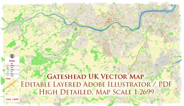
Gateshead is a town in Tyne and Wear, England, and it is located on the southern bank of the River Tyne, across from the city of Newcastle upon Tyne. The region has several notable water resources and bridges:
- River Tyne: The River Tyne is a significant water resource in the Gateshead area. It serves as a natural boundary between Gateshead and Newcastle and has historically played a crucial role in the industrial and economic development of the region.
- Bridges:
- Gateshead Millennium Bridge: One of the most iconic structures in Gateshead, the Millennium Bridge is a pedestrian and cyclist tilt bridge that connects Gateshead Quays to Newcastle Quayside. It is known for its innovative design and ability to tilt to allow for the passage of boats.
- Tyne Bridge: The Tyne Bridge is one of the most famous landmarks in the region. It’s a large through arch bridge that connects Gateshead and Newcastle. It was completed in 1928 and is an essential part of the Tyneside skyline.
- High Level Bridge: This is another historic and iconic bridge in Gateshead and Newcastle. It’s a road and railway bridge that spans the River Tyne and was completed in 1849.
- Queen Elizabeth II Metro Bridge: This is a rail bridge that carries the Tyne and Wear Metro system over the River Tyne, connecting Gateshead with Newcastle.
- Waterfront Development: The Gateshead Quays area has seen significant redevelopment in recent years, including the construction of modern buildings and venues along the riverfront. This area hosts cultural attractions like the Sage Gateshead (a music and conference venue) and the BALTIC Centre for Contemporary Art.
These water resources and bridges play a crucial role in the connectivity, transportation, and cultural vibrancy of the Gateshead and Newcastle area, as well as being key components of its historical and contemporary identity.


 Author: Kirill Shrayber, Ph.D. FRGS