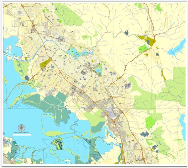
Fremont, California, offers a variety of urban amenities to its residents and visitors.
- Parks and Recreation:
- Central Park: This large park features a beautiful lake, picnic areas, playgrounds, a skate park, and a performance amphitheater.
- Lake Elizabeth: A popular spot for boating and picnicking, and it’s surrounded by walking and biking trails.
- Shopping:
- The Fremont Hub Shopping Center: Home to a variety of retail stores and restaurants.
- Pacific Commons: A large shopping complex with numerous big-box retailers, restaurants, and entertainment options.
- Dining and Cuisine:
- Fremont boasts a diverse culinary scene with restaurants offering cuisine from around the world, including Chinese, Indian, Mexican, and more.
- The Niles district is known for its historic charm and dining options.
- Arts and Culture:
- The Niles Essanay Silent Film Museum: A museum dedicated to the early silent film era and the history of Niles, which was once a major filmmaking center.
- The Olive Hyde Art Gallery: A venue showcasing local and regional artists.
- Education:
- Fremont is served by several public and private schools, as well as Ohlone College, offering higher education opportunities.
- Community Centers:
- The City of Fremont operates multiple community centers offering various programs and activities for residents.
- Public Transportation:
- Fremont is well-connected by public transit, with access to BART (Bay Area Rapid Transit), making it easy to travel to other parts of the Bay Area.
- Healthcare:
- Washington Hospital is a prominent healthcare facility serving the Fremont community.
- Outdoor Activities:
- Alameda Creek Regional Trail: A popular trail for hiking, biking, and nature enthusiasts.
- Mission Peak Regional Preserve: A challenging hike with stunning views of the Bay Area.


 Author: Kirill Shrayber, Ph.D. FRGS