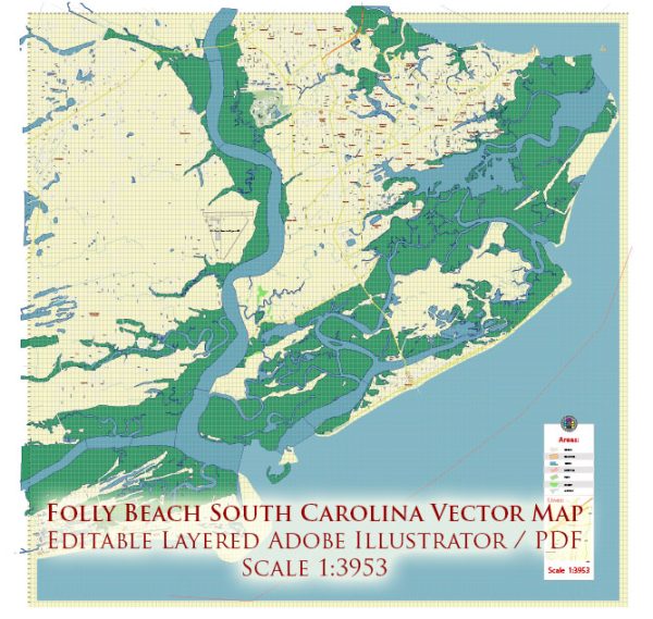
Folly Beach is a popular coastal community located on Folly Island in Charleston County, South Carolina, United States. The island is bordered by the Atlantic Ocean to the east and the Folly River to the west. Folly Beach is known for its beautiful beaches, marshes, and tidal creeks, making it a place of interest for water resources and bridges.
- Water Resources:
- Folly Beach itself is primarily known for its sandy shores and beautiful oceanfront. The Atlantic Ocean provides recreational opportunities like swimming, surfing, fishing, and boating. The beach is a significant water resource for locals and visitors.
- Folly River: This river flows along the western side of Folly Island. It’s an essential water resource and is popular for activities such as kayaking, paddleboarding, and fishing. The Folly River is a tidal river, which means it experiences changing water levels with the tides.
- Tidal Creeks: Several tidal creeks and marshes are found on Folly Island. These areas play a crucial role in the local ecosystem and provide habitat for various wildlife. They are also popular for activities like crabbing and birdwatching.
- Bridges:
- Folly Beach is accessible via two bridges:
- Folly Island Connector: This bridge connects Folly Beach to James Island, which is a part of the city of Charleston. It provides the primary road access to Folly Beach from the mainland.
- Edwin S. Taylor Folly Beach Fishing Pier: Although not a traditional bridge, the Folly Beach Fishing Pier extends into the Atlantic Ocean and offers both fishing and panoramic views of the coastline. It can be considered a kind of pier-bridge, and it’s a popular spot for tourists and anglers.
- Folly Beach is accessible via two bridges:
- Conservation and Environmental Concerns:
- Folly Beach, like many coastal areas, faces environmental challenges such as erosion, rising sea levels, and stormwater management. Local authorities and organizations work to address these concerns to protect the island’s natural resources and infrastructure.
Folly Beach’s unique location, situated between the Atlantic Ocean and the Folly River, provides a range of water-related activities and attractions. The bridges and causeways connecting the island to the mainland are crucial for transportation and access to this scenic coastal community.


 Author: Kirill Shrayber, Ph.D. FRGS