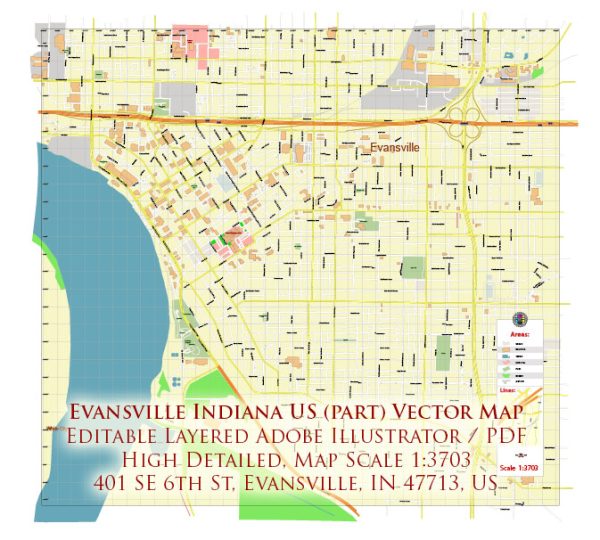
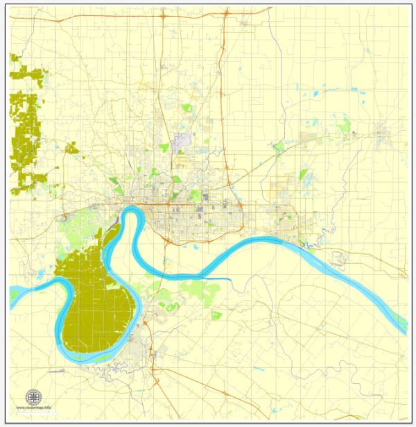
Evansville, Indiana, is the third-largest city in the state and is divided into several neighborhoods and districts, each with its own unique character and features. Please note that neighborhood boundaries can sometimes be loosely defined, and my information is based on data available up to September 2021. Here’s a brief overview of some of the major neighborhoods and districts in Evansville:
- Downtown Evansville: This is the heart of the city and offers a mix of historic and modern architecture. You’ll find shops, restaurants, museums, and cultural attractions like the Evansville Museum of Arts, History, and Science. The riverfront area is a beautiful place to walk and enjoy views of the Ohio River.
- Haynie’s Corner Arts District: Located just south of downtown, this district is known for its arts and culture scene. It features galleries, studios, and unique shops. It’s a vibrant and creative community with events like the First Fridays Art Walk.
- North Main Street: This area offers a mix of historic homes and newer developments. It’s a family-friendly neighborhood with parks, schools, and convenient access to downtown.
- West Franklin Street: This is another historic district known for its restaurants, bars, and quirky shops. It’s a hub for nightlife and entertainment in the city.
- East Side: The east side of Evansville is known for its suburban feel with a range of housing options. There are shopping centers, schools, and parks, making it a popular choice for families.
- North Side: This area includes neighborhoods like McCutchanville and Darmstadt. It’s known for its spacious homes, parks, and access to amenities like the State Hospital Park.
- Jacobsville: Located to the northwest of downtown, Jacobsville is an eclectic neighborhood with a mix of housing, shops, and restaurants.
- Henderson, Kentucky (across the river): Although not in Evansville, it’s worth mentioning as it’s just across the Ohio River and has close ties to the city. It offers a different mix of amenities and attractions.
- University of Evansville Area: This neighborhood is home to the University of Evansville and has a college town atmosphere. You’ll find campus facilities, student housing, and local businesses catering to the college crowd.
- Martin Luther King Jr. Blvd/ Lincoln Ave Area: Located on the city’s south side, this area has a mix of residential and commercial properties. It’s an evolving neighborhood with community efforts to improve living conditions.
- Bellemeade Bayard Park: This neighborhood is on the southeast side of the city and is known for its parks, schools, and suburban-style living.
- Hilltop Neighborhood: Hilltop is situated on the city’s west side and offers a mix of housing, parks, and local businesses.
Keep in mind that the character of these neighborhoods can evolve over time, and there may have been changes and developments since my last knowledge update in September 2021. If you plan to move or invest in Evansville, it’s a good idea to visit the neighborhoods and talk to local residents to get a more current sense of the community.

 Author: Kirill Shrayber, Ph.D. FRGS