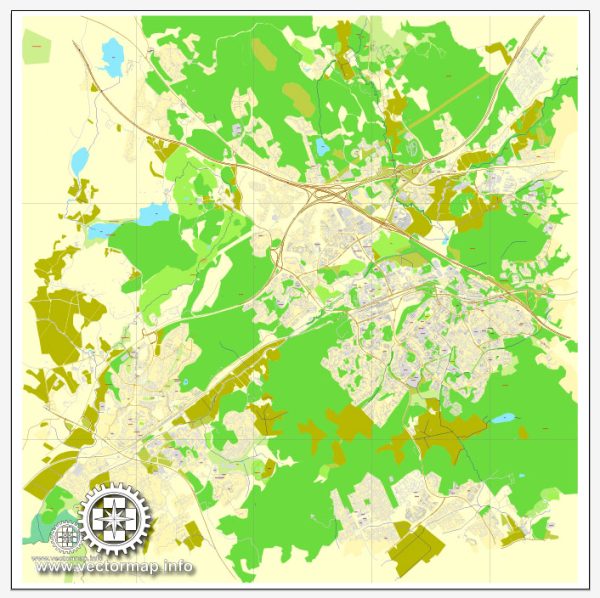
Espoo, Finland is a city located in the southern part of the country, and it is part of the Helsinki Metropolitan Area. It is situated on the shores of the Gulf of Finland and has a significant number of water resources, including the Baltic Sea coastline, numerous lakes, and rivers. Here are some key aspects of water resources and bridges in Espoo:
- Coastline: Espoo has a significant coastline along the Gulf of Finland, providing access to the sea. The city’s shoreline offers opportunities for recreation, such as beaches and waterfront promenades.
- Lakes: Espoo is known for its many lakes, including Lake Bodom, Lake Vanhankylän, and Lake Saunalahti, among others. These lakes are used for various recreational activities, such as swimming, boating, and fishing.
- Rivers and Streams: Several rivers and streams flow through Espoo, including the Espoonjoki River and Siikajoki River. These water bodies contribute to the city’s natural beauty and are often used for outdoor activities.
- Bridges: Espoo features numerous bridges that span its water bodies, connecting different parts of the city and enhancing transportation and accessibility. The most notable bridge in Espoo is the Haukilahti Bridge, which is a modern cable-stayed bridge that spans the Haukilahti Bay.
- Water Management: Like many Finnish municipalities, Espoo places a strong emphasis on water quality and management. The city takes measures to protect its water bodies, ensure clean drinking water, and manage wastewater.
- Natural Reserves: Espoo also has several nature reserves and parks that encompass lakes, rivers, and forests. Nuuksio National Park, located in the northern part of the city, is one of the most prominent natural areas and is known for its diverse water resources.
The presence of these water resources and bridges contributes to the natural beauty and recreational opportunities in Espoo. Residents and visitors can enjoy a variety of outdoor activities, including swimming, boating, fishing, and hiking in the picturesque surroundings. Additionally, the city’s water management practices help ensure the sustainability of these valuable resources.


 Author: Kirill Shrayber, Ph.D.