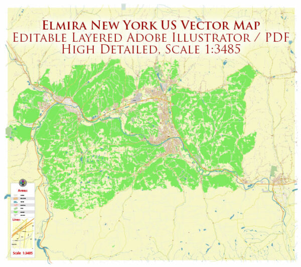
Elmira, New York, is a city located in Chemung County in the southern part of the state. The city is situated in the Chemung River Valley, and its water resources and bridges play a crucial role in its infrastructure and transportation network. Here’s some information about water resources and bridges in Elmira:
Water Resources:
- Chemung River: The Chemung River flows through Elmira, serving as a significant water resource. It is a tributary of the Susquehanna River and provides water for various purposes, including recreation and industrial use.
- Reservoirs: There are several reservoirs in the surrounding area that provide drinking water for Elmira and the surrounding communities. These reservoirs help ensure a reliable supply of clean water for the city’s residents.
- Wastewater Management: Elmira has wastewater treatment facilities to manage and treat sewage and industrial wastewater to protect the local environment and maintain water quality standards.
Bridges: Elmira has several bridges that help facilitate transportation within the city and connect it to nearby areas. Some of the notable bridges include:
- Clemens Center Parkway Bridge: This bridge spans the Chemung River and connects the city’s downtown area with the southern part of Elmira. It serves as an essential transportation route.
- Madison Avenue Bridge: This bridge crosses the Chemung River and connects Madison Avenue on the west side to East Water Street on the east side. It’s a critical route for local traffic.
- Pennsylvania Avenue Bridge: This bridge connects Elmira with the town of Southport, on the southern side of the Chemung River, and serves as an important connection for commuters and travelers.
- Lake Street Bridge: This bridge spans Newtown Creek, providing access to the southern part of Elmira. It plays a role in local transportation.
These bridges and water resources are vital for Elmira’s infrastructure and transportation needs, allowing residents and businesses to access different parts of the city and ensuring a reliable supply of water resources for various purposes. It’s important for the local government to maintain and upgrade these assets to support the city’s growth and development. Please note that the specific number and condition of bridges may change over time, so it’s a good idea to check with local authorities or agencies for the most up-to-date information.


 Author: Kirill Shrayber, Ph.D. FRGS