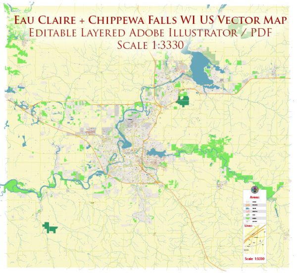
Eau Claire and Chippewa Falls are cities located in the state of Wisconsin in the United States. These cities are situated in the Chippewa Valley region, and they are known for their beautiful natural surroundings, which include various water resources and bridges. Here’s some information about the water resources and bridges in this area:
Water Resources:
- Chippewa River: The Chippewa River flows through both Eau Claire and Chippewa Falls. It is a significant water resource in the region and offers opportunities for recreational activities like fishing, boating, and kayaking.
- Eau Claire River: The Eau Claire River is another waterway that flows through Eau Claire. It is a tributary of the Chippewa River and provides additional opportunities for outdoor activities.
- Dells Pond: Located near Chippewa Falls, Dells Pond is an impoundment of the Chippewa River and offers a scenic and serene environment for fishing and wildlife viewing.
- Lake Wissota: Lake Wissota is located to the northeast of Chippewa Falls. This reservoir was created by a dam on the Chippewa River and is a popular spot for boating, fishing, and swimming.
Bridges:
- Phoenix Park Footbridge: This pedestrian bridge in Eau Claire spans the Chippewa River and is a key feature of Phoenix Park. It provides a picturesque view of the river and is a favorite spot for locals and visitors.
- High Bridge: The High Bridge is a historic structure in Chippewa Falls that crosses the Chippewa River. It is an iconic part of the city’s landscape and is used for both vehicle and pedestrian traffic.
- Clairemont Avenue Bridge: The Clairemont Avenue Bridge is a vital transportation link in Eau Claire, carrying vehicular traffic over the Chippewa River.
- Veterans’ Bridge: Another bridge in Chippewa Falls, the Veterans’ Bridge, serves as a connection between the downtown area and the northern parts of the city.
These are just a few examples of the water resources and bridges in the Eau Claire and Chippewa Falls area. Both cities take advantage of their proximity to water bodies to offer various recreational and cultural amenities to residents and visitors.


 Author: Kirill Shrayber, Ph.D. FRGS