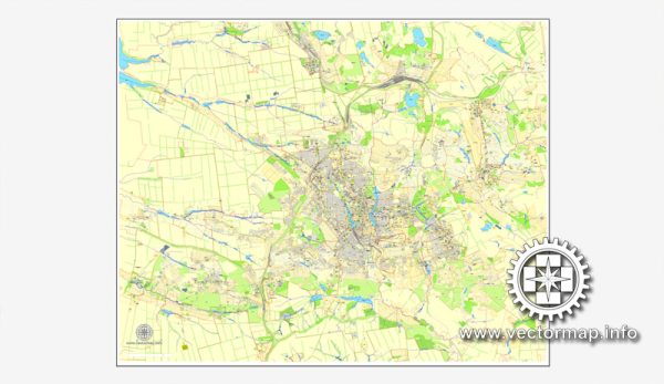
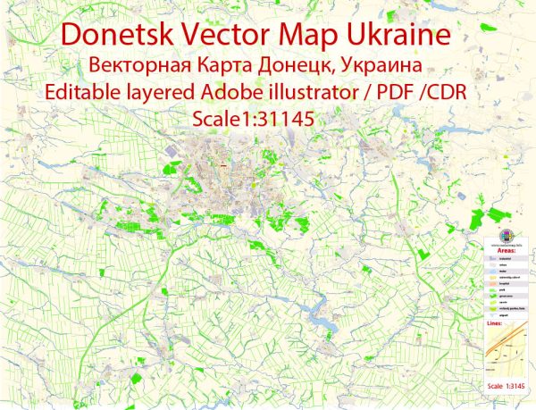
Donetsk, located in Eastern Ukraine, is known for its historical significance and unique cityscape. The city has been affected by the ongoing conflict in the region, and the situation there may have changed significantly. Keep in mind that the information provided here may not be up to date. Here’s a brief description of some of Donetsk’s districts and neighborhoods as they were known before the conflict:
- Central District (Centralnyi Raion): This is the heart of Donetsk and includes the city’s main administrative and cultural institutions. You can find Lenin Square, a central hub with a large statue of Lenin, along with theaters, museums, and shopping areas. The district is home to a mix of historical and modern buildings.
- Kalininsky District (Kalininskii Raion): Located to the northwest of the city center, this district includes residential areas, parks, and educational institutions. The Kalinina Park is a popular recreational spot, and there are several schools and universities in the area.
- Kuibyshev District (Kuibyshevskii Raion): This district is located to the northeast of the city center. It’s known for its industrial zones, including factories and manufacturing facilities. It’s a largely industrial area with some residential neighborhoods.
- Petrovsky District (Petrovskii Raion): Situated to the south of the city center, this district is known for its mix of residential and industrial areas. It is home to various factories and residential neighborhoods, with some green spaces and parks.
- Voroshilov District (Voroshilovskii Raion): Located in the eastern part of the city, this district includes residential neighborhoods, parks, and recreational areas. The Donbass Arena, a prominent soccer stadium, was situated in this district.
- Kyivsky District (Kyivskii Raion): To the west of the city center, this district was known for its residential neighborhoods and cultural attractions. You could find the Donetsk Botanical Garden and several theaters in this area.
- Budennovsky District (Budennovskii Raion): This district is in the southern part of the city and includes a mix of residential areas, industrial facilities, and green spaces. The Shakhtar Donetsk football stadium is located in this district.


 Author: Kirill Shrayber, Ph.D. FRGS