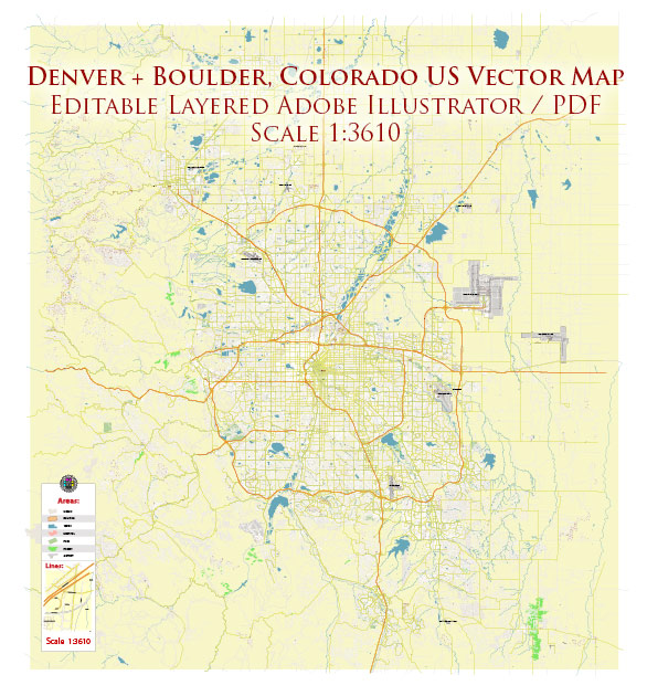
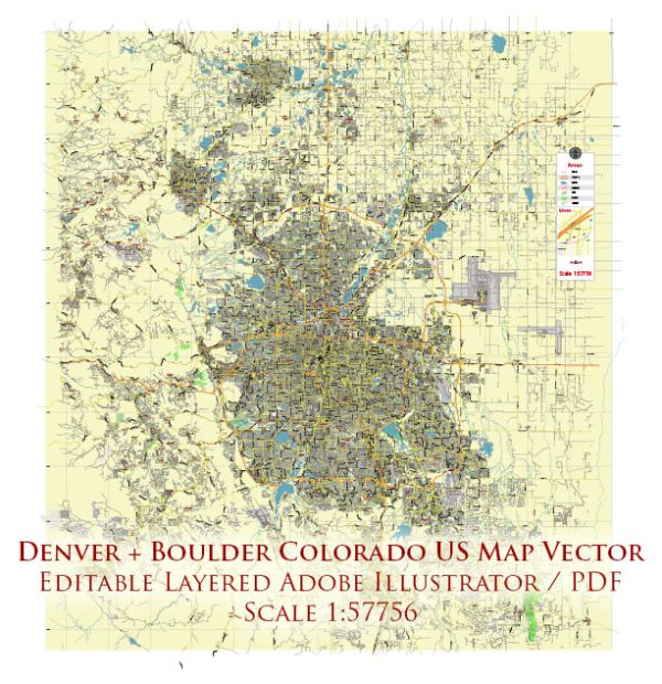
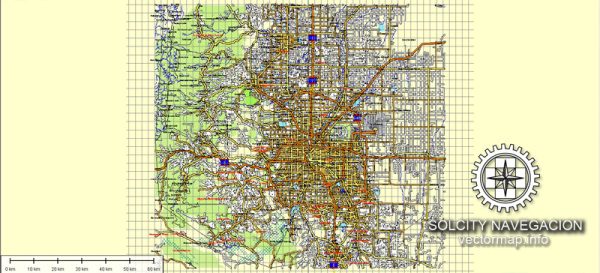
Denver and Boulder, Colorado, as well as the broader state of Colorado, have a variety of water resources and bridges that are integral to the region’s infrastructure and natural beauty.
Water Resources:
- South Platte River: The South Platte River runs through both Denver and Boulder and is a major source of water for the region. It provides water for drinking, agriculture, and recreation.
- Reservoirs: The region has several reservoirs, including Cherry Creek Reservoir and Chatfield Reservoir, which serve as water storage and recreational areas. These reservoirs are vital for water supply and flood control.
- Boulder Creek: Boulder Creek is a tributary of the South Platte River and is a popular spot for outdoor activities, including tubing and kayaking.
- Clear Creek: Clear Creek flows through parts of the Denver metropolitan area and offers opportunities for outdoor recreation and is an important water resource.
- Boulder Reservoir: Located in Boulder, this reservoir serves as a source of drinking water, as well as a popular spot for swimming, boating, and picnicking.
- Groundwater: Colorado also relies on groundwater from wells, particularly in rural areas. The Denver Basin Aquifer is an important groundwater source for the region.
Bridges:
- Sixteenth Street Bridge: Located in Denver, this pedestrian bridge crosses the South Platte River and connects downtown Denver with the Platte River Greenway.
- Millennium Bridge: Also in Denver, this unique bridge is known for its contemporary design and spans across railroad tracks and a major road.
- Pearl Street Bridge: In Boulder, this bridge crosses Boulder Creek and is an integral part of the Pearl Street Mall, a popular pedestrian shopping area.
- Golden Bridge: Located in the nearby town of Golden, Colorado, this iconic bridge spans Clear Creek and provides access to Clear Creek Canyon and the surrounding hiking trails.
- Eldorado Springs Bridge: This historic bridge is situated in Eldorado Springs, just outside Boulder, and is part of the charming scenery in the area.
These water resources and bridges play a significant role in the daily lives, economy, and recreational opportunities of the people in the Denver and Boulder region. Managing and maintaining these resources and infrastructure are essential for the well-being and prosperity of the communities in the area.


 Author: Kirill Shrayber, Ph.D.