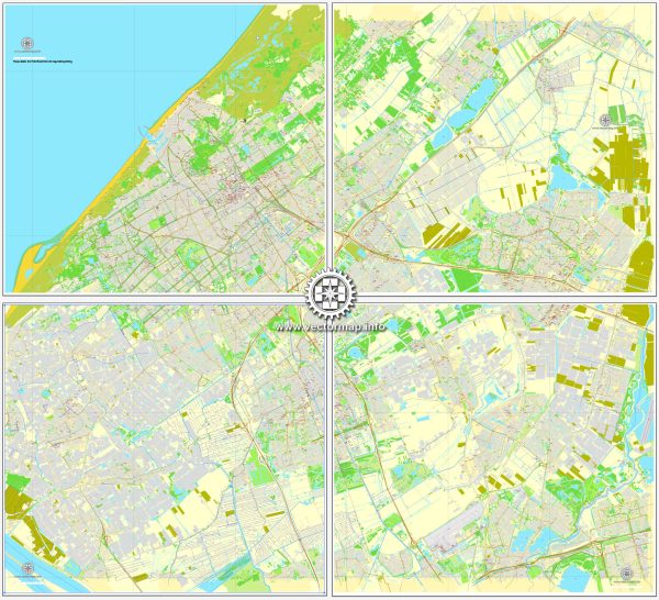
The Hague (Den Haag) is the capital city of the province of South Holland in the Netherlands. It is located on the western coast of the country and has several water resources and bridges that play important roles in the city’s transportation and infrastructure. Here are some key aspects of water resources and bridges in The Hague:
- Canals: The Hague has a network of canals, some of which are used for recreational purposes and others for drainage and water management. The city’s canals, such as the Veenkade and the Koninginnegracht, add to its charm and historical character.
- Hofvijver: The Hofvijver is a small lake located in the city center, near the Binnenhof, which is the political heart of the Netherlands. The Hofvijver is surrounded by several historic buildings and is often a focal point for events and festivals.
- The Haagse Beek: This is a small river that flows through The Hague. Historically, it was essential for water management in the region and played a role in providing water to the city.
- Bridges: The Hague has numerous bridges that span its canals, rivers, and waterways, serving as important transportation links within the city. Some of the notable bridges include the “Stadhoudersbrug,” “Koninginnegrachtbrug,” and “Draaibrug.”
- Bridges to Scheveningen: The Hague is connected to the coastal district of Scheveningen via several bridges, allowing easy access to the North Sea beach and the Scheveningen Pier. These bridges include the “Gevers Deynootweg” and the “Zwolsestraat.”
- Water Management: The Netherlands, including The Hague, has a long history of managing water levels, as much of the country lies below sea level. The city’s water management systems include dikes, pumps, and canals to control water flow and prevent flooding.
- Harbor: The Hague has a harbor known as the Scheveningen Harbour, which is an important hub for fishing and recreational boating.
The water resources and bridges in The Hague contribute to the city’s character and play a significant role in both transportation and recreation. The canals and bridges, in particular, add to the city’s beauty and historic charm, making it an attractive destination for residents and visitors alike.


 Author: Kirill Shrayber, Ph.D. FRGS