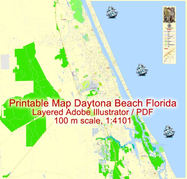
Daytona Beach, Florida, is a coastal city known for its beautiful beaches and vibrant tourist scene. It is located in Volusia County, along the eastern coast of Florida. Water resources and bridges play a significant role in the city’s infrastructure and overall appeal.
- Halifax River: The Halifax River, an intracoastal waterway, flows through Daytona Beach, separating the city from the barrier island where the famous Daytona Beach shoreline is located. The river provides recreational opportunities like boating, fishing, and kayaking. Several bridges span the Halifax River, connecting the mainland to the beachside.
- Bridges: Daytona Beach has several bridges that facilitate transportation and connect different parts of the city. Some notable bridges in the area include:
- Main Street Bridge: This bridge connects the mainland to the beachside area of Daytona Beach. It’s a drawbridge that opens to allow boats to pass through the Halifax River.
- Seabreeze Bridge: This is another drawbridge that connects the mainland to the beachside. It is part of State Road A1A.
- International Speedway Boulevard Bridge: This bridge is crucial for access to the Daytona International Speedway and surrounding areas.
- Atlantic Ocean: The city is situated along the Atlantic Ocean, and its beaches are a major attraction for tourists. The ocean provides opportunities for swimming, surfing, and other water-related activities.
- Water Management: Given the proximity to the ocean and the potential for hurricanes and tropical storms, water management is essential in Daytona Beach. The city has a system of canals, drainage ditches, and pumping stations to help manage water during heavy rainfall and storms.
- Environmental Concerns: Protecting the water resources in and around Daytona Beach is vital for both ecological reasons and the tourism industry. Efforts are made to conserve and protect the natural beauty of the Halifax River and the Atlantic Ocean, as well as to maintain the quality of the water.
It’s worth noting that the exact status and details of the city’s water resources and bridges can change over time due to maintenance, upgrades, and new construction projects. For the most up-to-date and specific information, it’s advisable to check with local authorities or government agencies responsible for infrastructure and water management in Daytona Beach.


 Author: Kirill Shrayber, Ph.D. FRGS